Some hikes are about the route. This one was just as much about the timing. On 21 September 2026 we started walking in the dark with head torches, reached the ridge as the sky began to glow, and stood on the Augstmatthorn as the sun came up over the Alps – with wild ibex grazing below us and hardly another person in sight.
By the time we came down, around 11am, the trail was full of people heading up. That contrast is the single most useful thing we can tell you about this hike.
The short version
Start early – really early. Drive up to Lombachalp before dawn, walk up with a head torch and catch sunrise on the ridge. You'll have the mountain almost to yourself. The hardest part is the first climb; once you're on the ridge, it's one long viewpoint.
Our hike in numbers
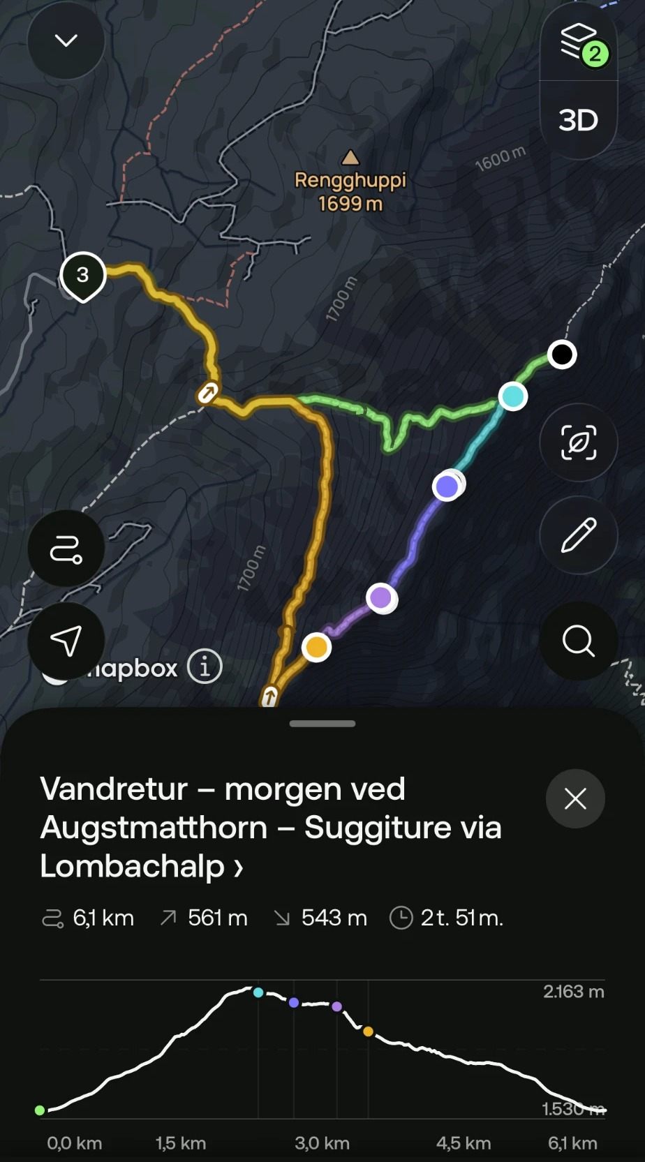
Recorded on AllTrails on our own hike, following the route "Augstmatthorn – Suggiture via Lombachalp". Please don't read the moving time as how long you'll need – see below.
Where is the Augstmatthorn?
The Augstmatthorn (around 2,137 m) and its neighbour Suggiture (2,085 m) sit on a long, grassy ridge in the Emmental Alps, high above Lake Brienz in the Bernese Oberland, not far from Interlaken. Both summits lie within a Swiss federal wildlife protection area – which is why the ridge is home to a large colony of wild Alpine ibex.
The best-known way up is the long and exposed Hardergrat ridge from Harder Kulm above Interlaken. We took the much shorter approach from Lombachalp, above the village of Habkern.
Driving to Lombachalp and parking
We drove up early in the morning and arrived at the trailhead area at Lombachalp around 5:15am. The last stretch is a small, winding mountain road – narrow, but paved, and in our experience easy to drive.
There's paid parking at the trailhead, and we could pay by card at the machine.
Parking at Lombachalp
Recent hiking guides list the parking at around CHF 8 for 4 hours and CHF 10 for 12 hours, paid at a machine – but prices can change, so check the signs on site. Without a car, PostBus line 107 runs to Habkern, Lombachalp Roteschwand.
The climb in the dark
We started while it was still completely dark, with head torches. From the car park, the path heads up towards the Augstmatthorn. The route is very well marked – we used AllTrails, but in our experience you could easily follow it without the app.
The lower part can be wet and muddy, especially early in the morning, so proper hiking shoes with good grip are a must.
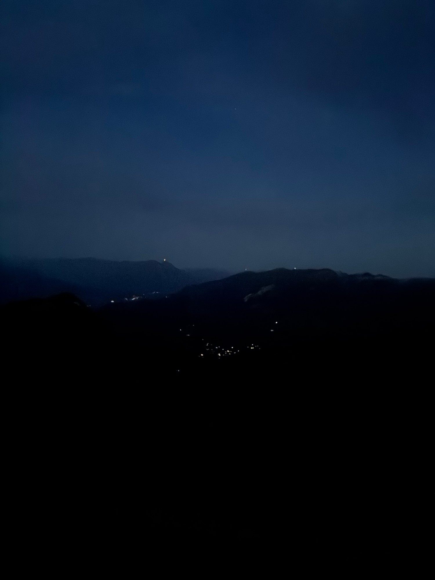
It was cool when we set off. I wore a T-shirt under my shirt and only took the shirt off later in the morning, when the sun had warmed things up. Thin gloves and a hat are a good idea for the early start.
Left or right? Our tip for the junction
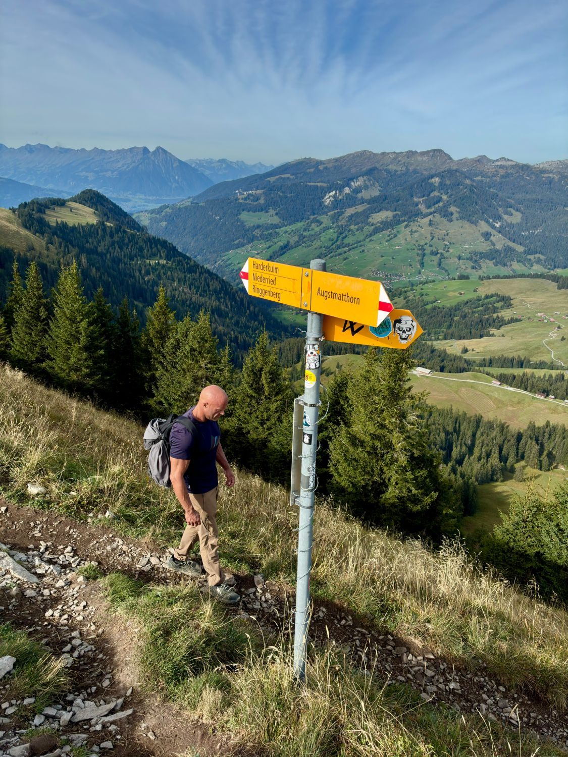
At one point the trail splits and you can choose between two directions. We went left, towards the Augstmatthorn.
If you're starting in the dark, we'd definitely recommend the same. In our experience it's the shorter and simpler ascent. The other option is longer and a bit more technical – not what we'd choose by head torch.
The first climb took us about 1 hour 45 minutes at a very relaxed pace. Physically, it's the hardest part of the whole hike.
Onto the ridge as the sky lights up
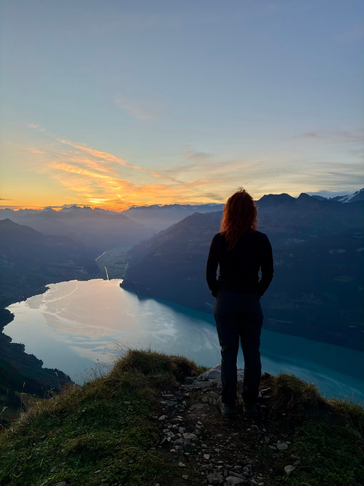
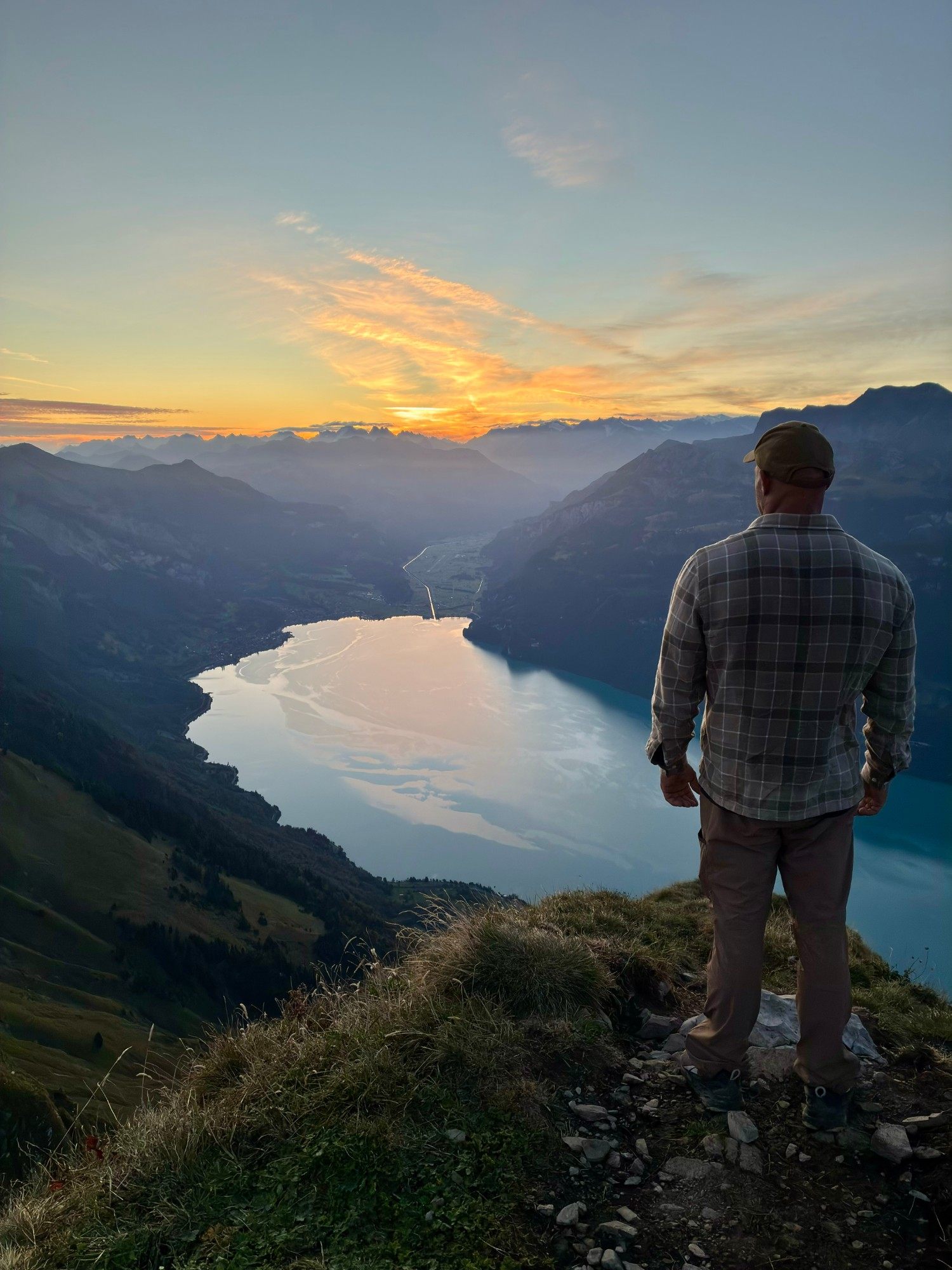
As we got closer to the ridge, the sky slowly began to brighten. When we reached the top, we turned left towards the Augstmatthorn – and everything changed.
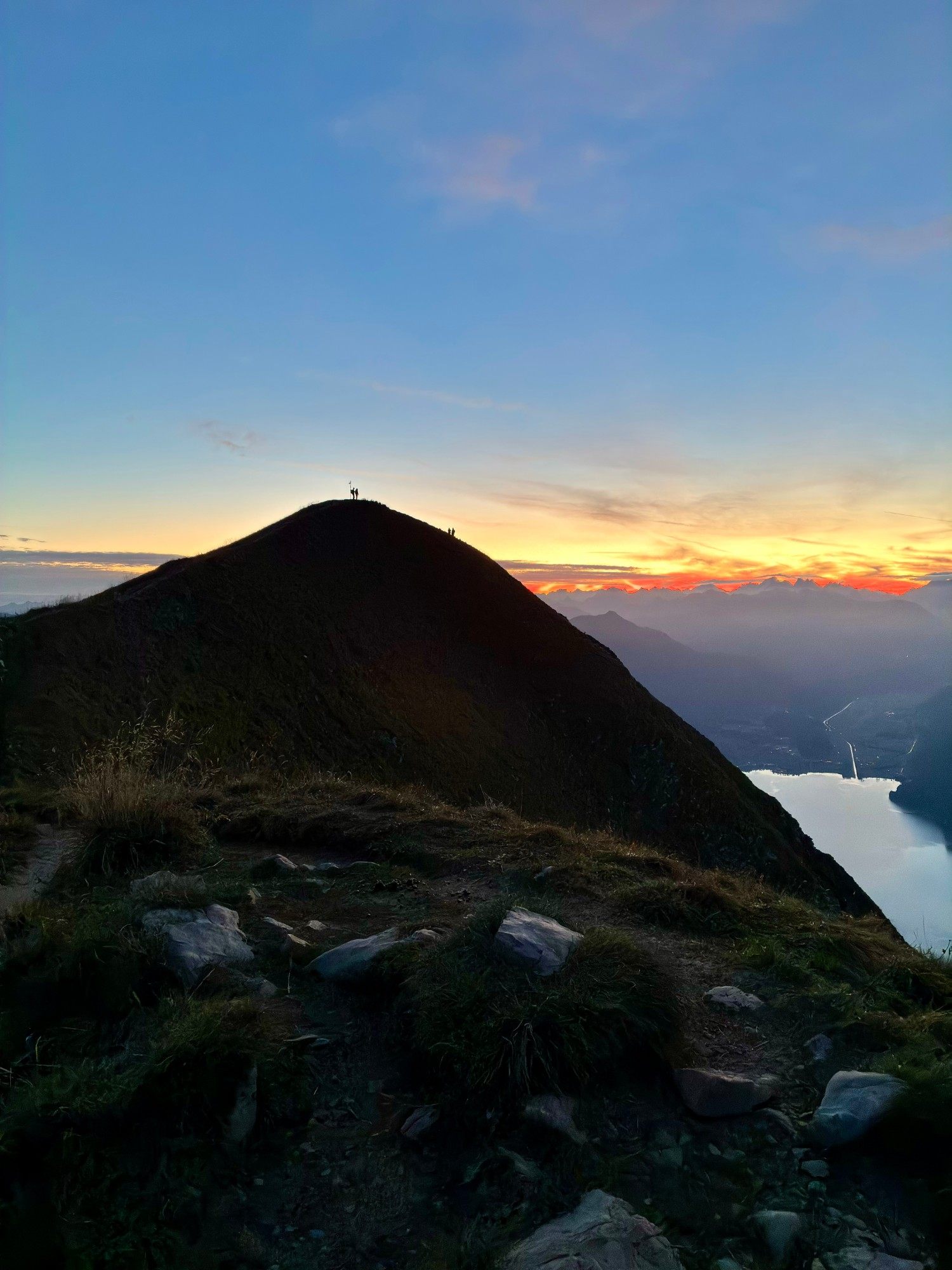
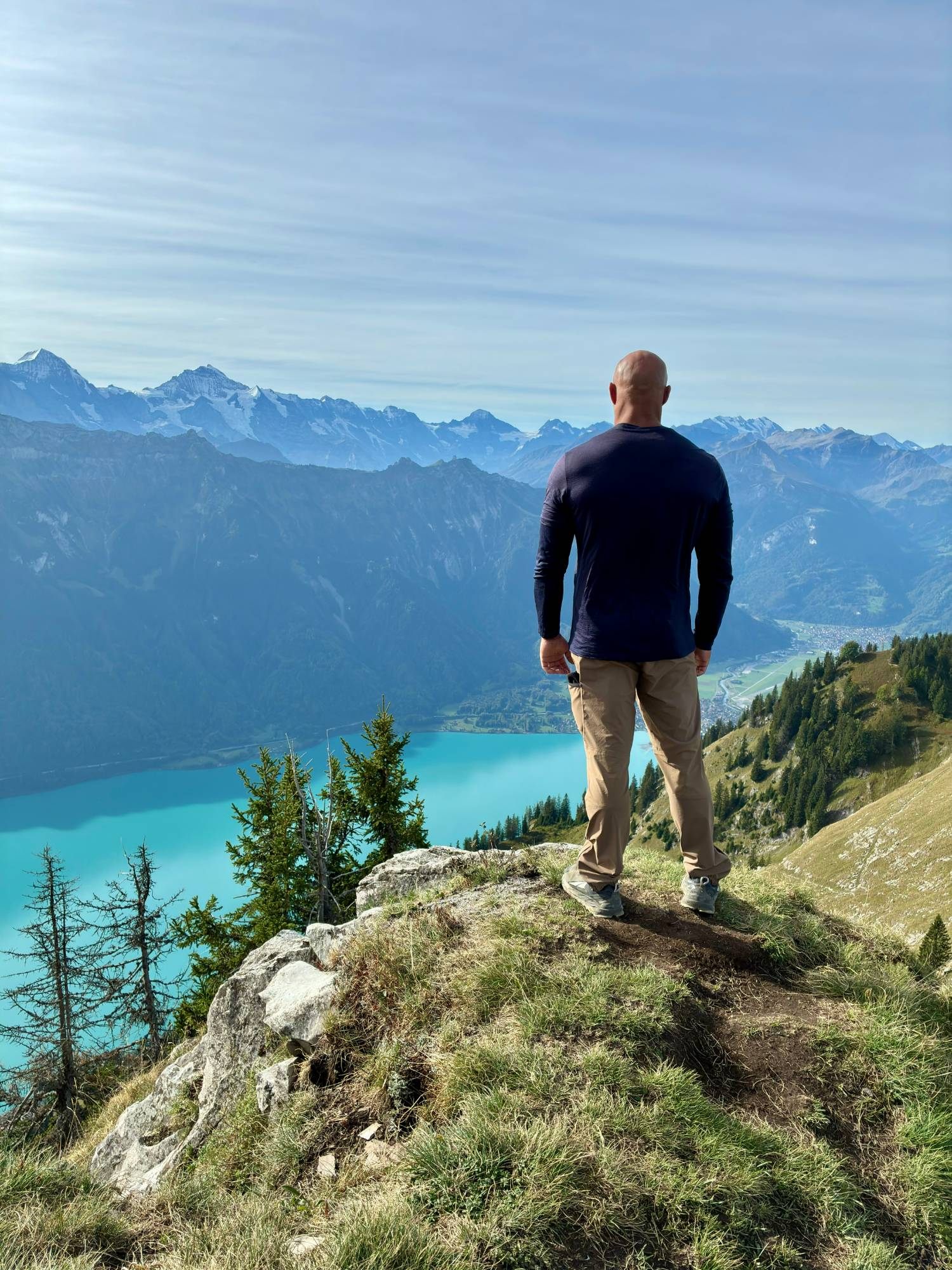
The light spread over the mountains and the lake, and with every minute the view got better as the sun crept towards the horizon.
Sunrise on the Augstmatthorn
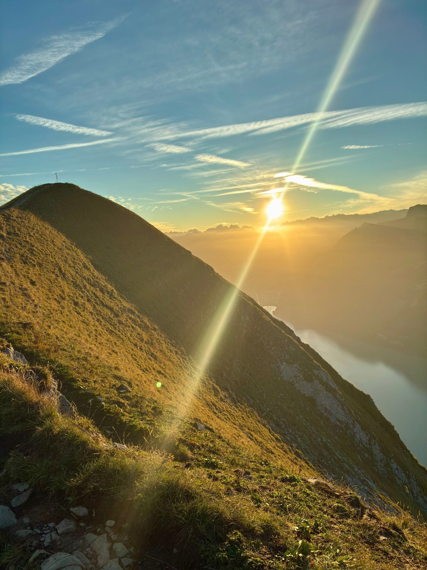
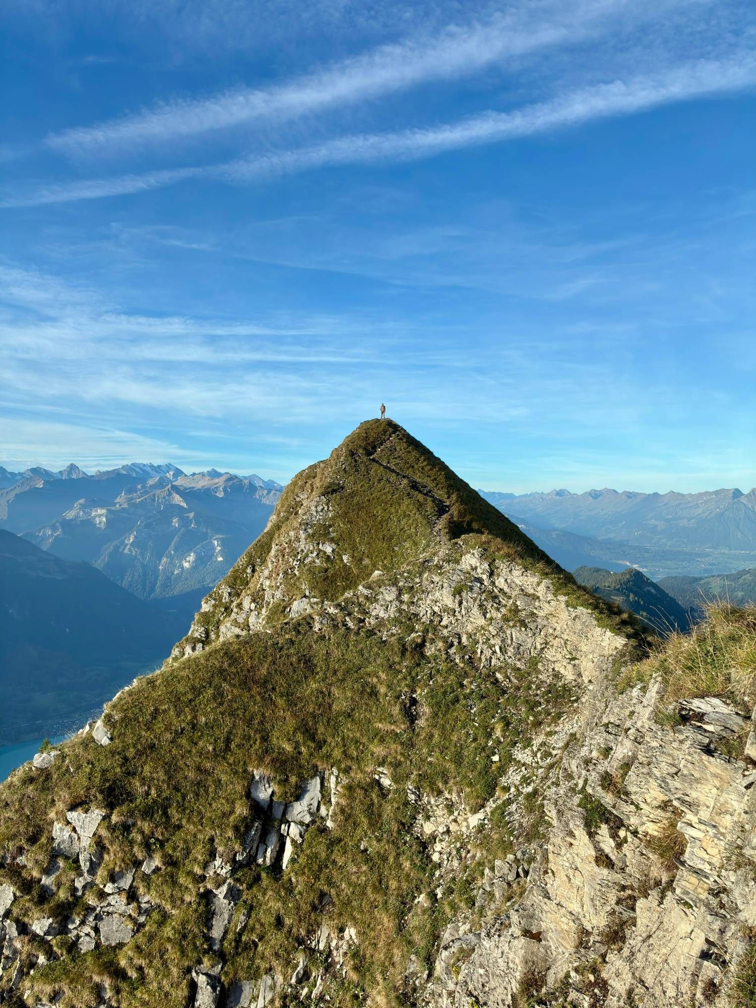
On the Augstmatthorn we stopped and waited for the sun. We were lucky with the weather: it was almost completely still, and we had more or less the whole area to ourselves.
Watching the sun come up over the Alps from up there is one of those moments we'll keep with us.
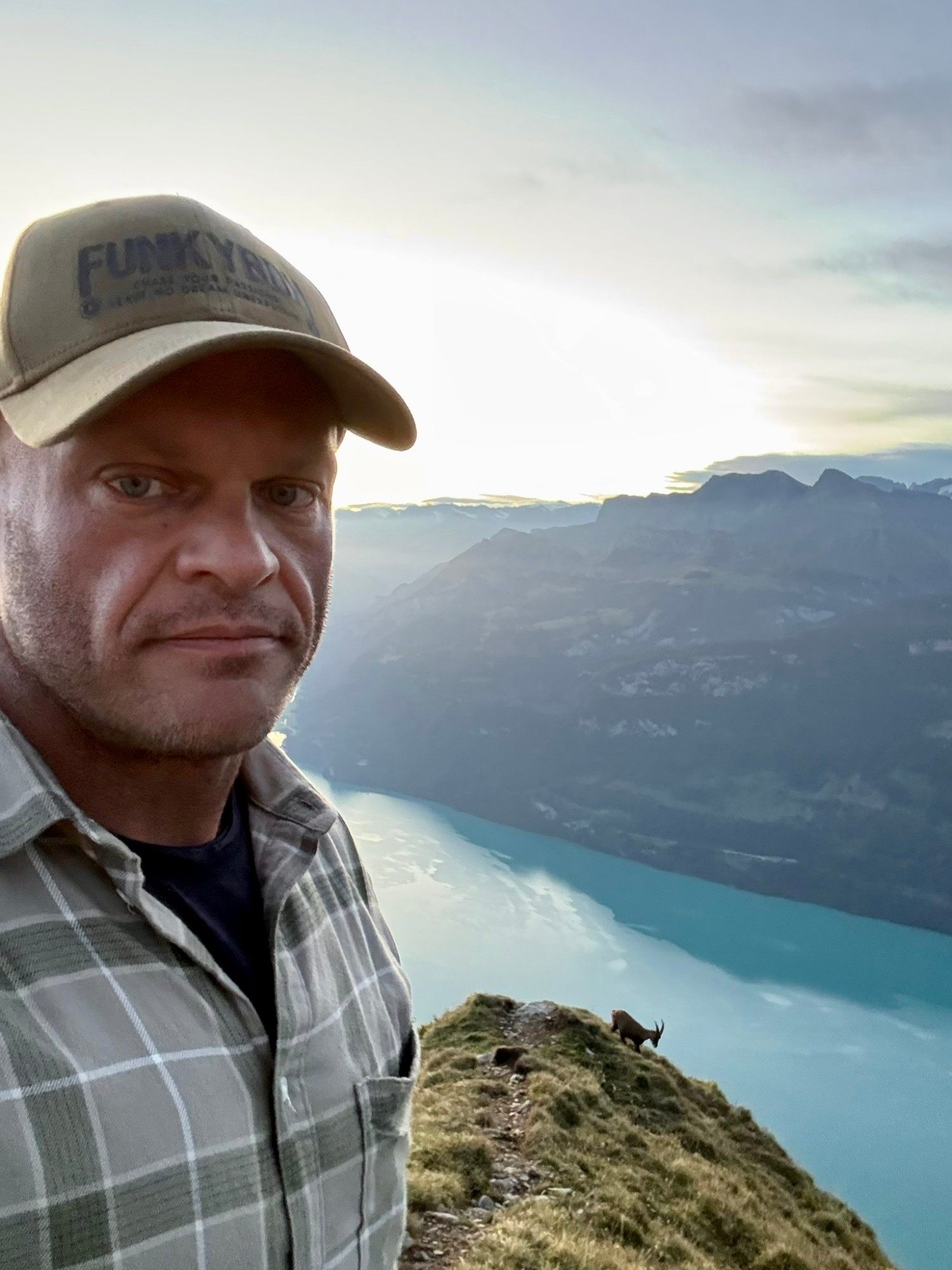
Wild ibex on the slopes
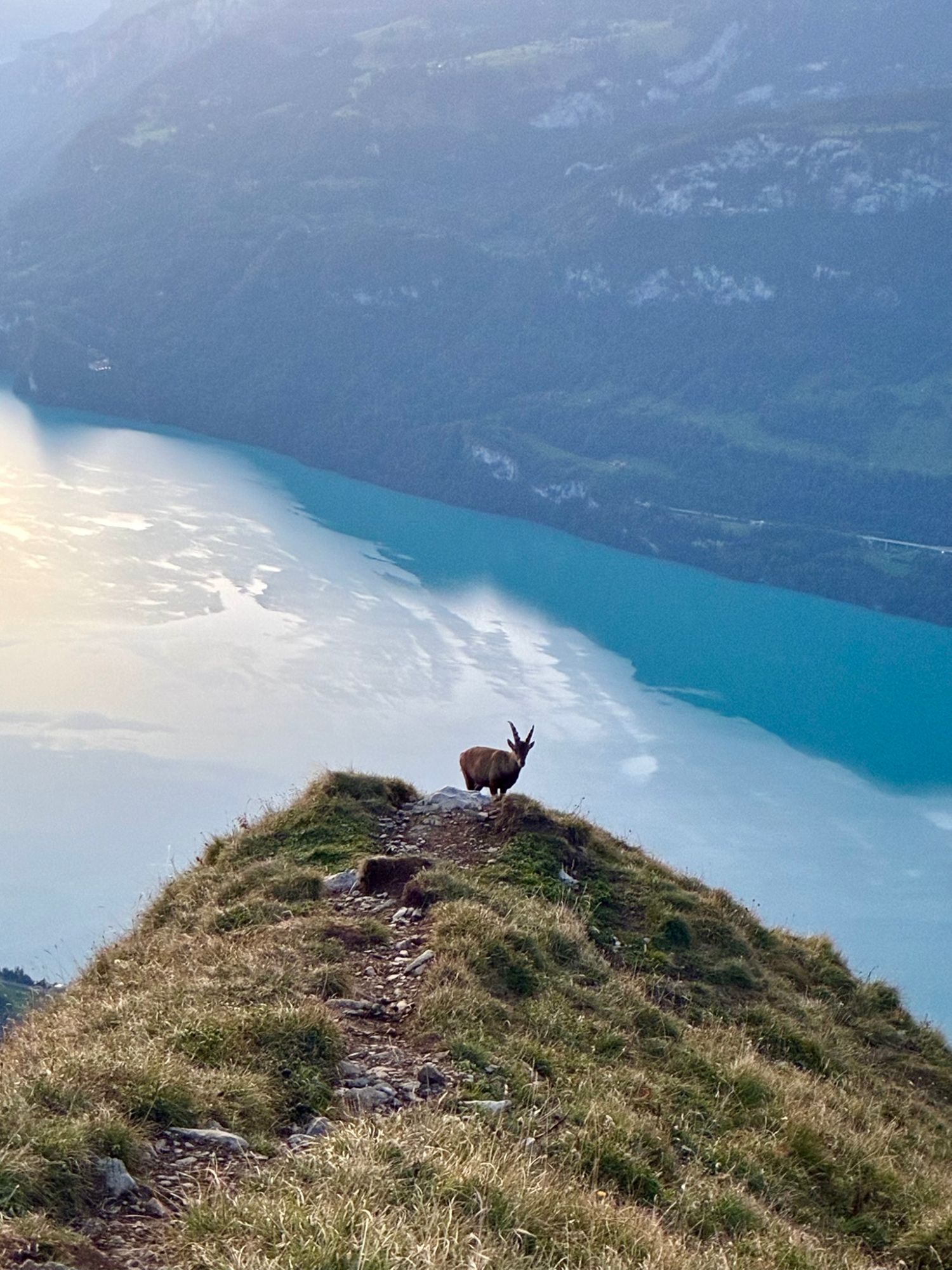
One of the most special parts of the morning: wild ibex moving across the mountainside around us.
They're no accident. The first Alpine ibex colony in the canton of Bern was established here in the early 20th century, after the animals had been wiped out in the region. The reintroduction was so successful that ibex from the Augstmatthorn were later used to start new colonies elsewhere.
Remember that you're in a wildlife protection area: keep your distance, stay on the trail and let the animals be.
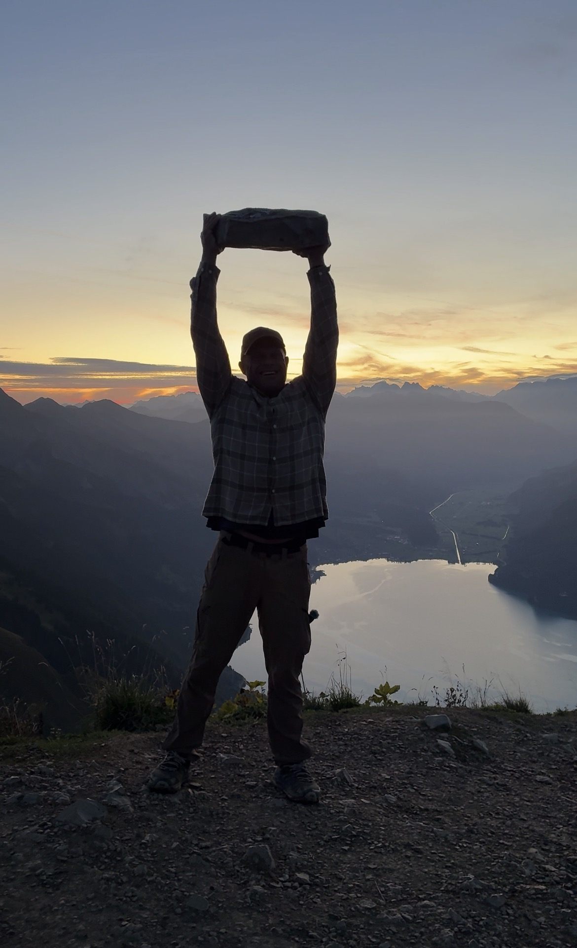
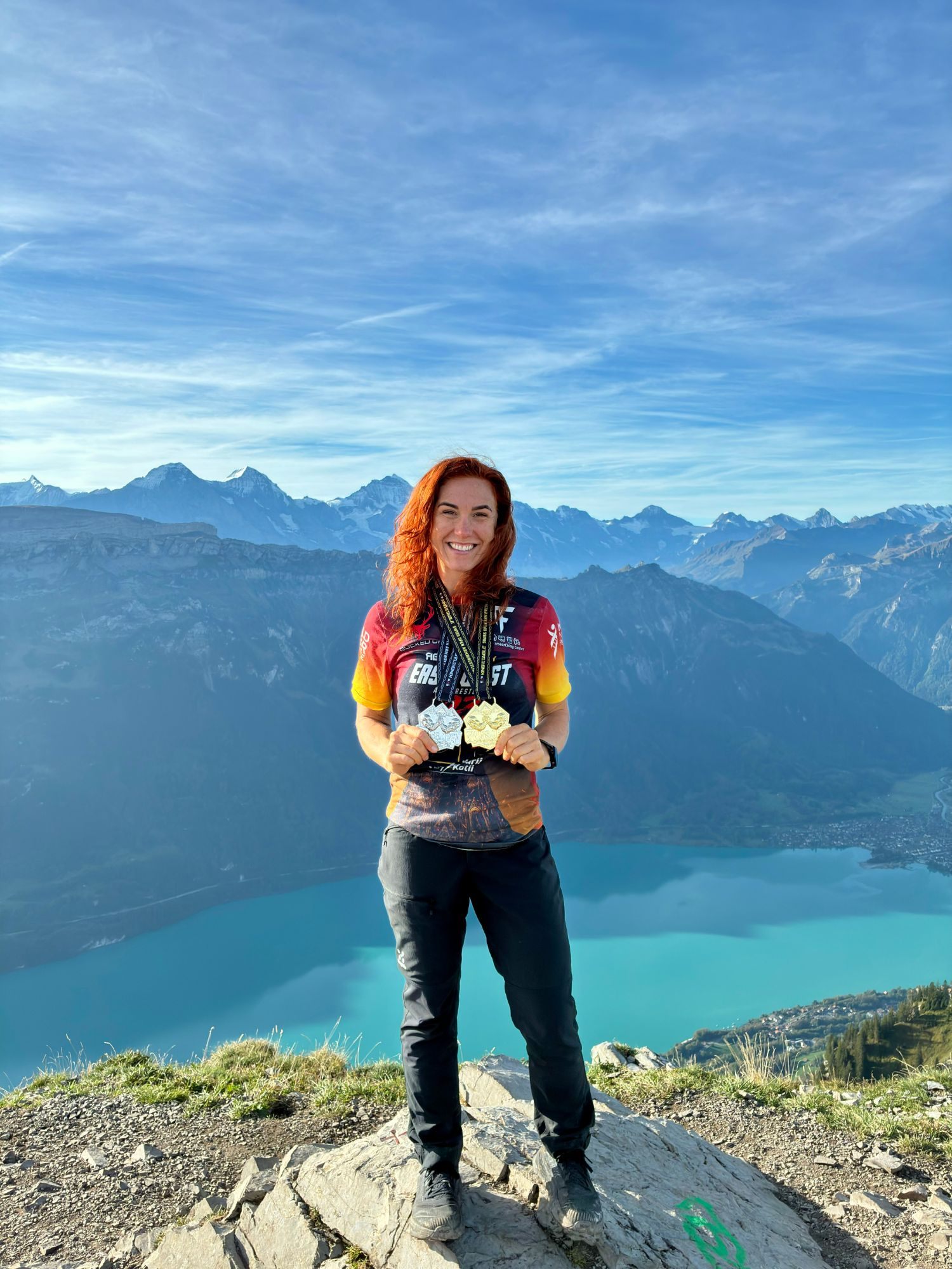
And of course, being us, I found a stone that needed lifting.
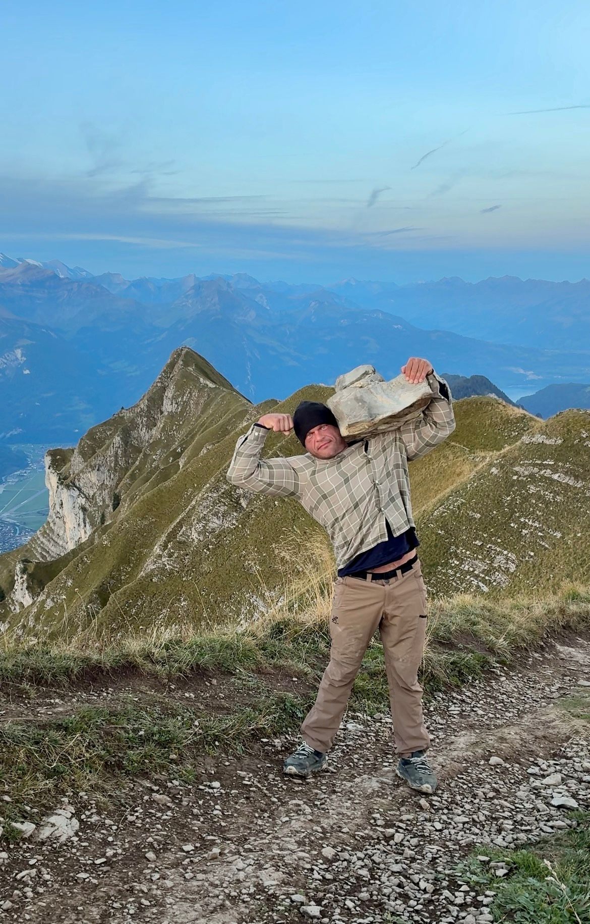
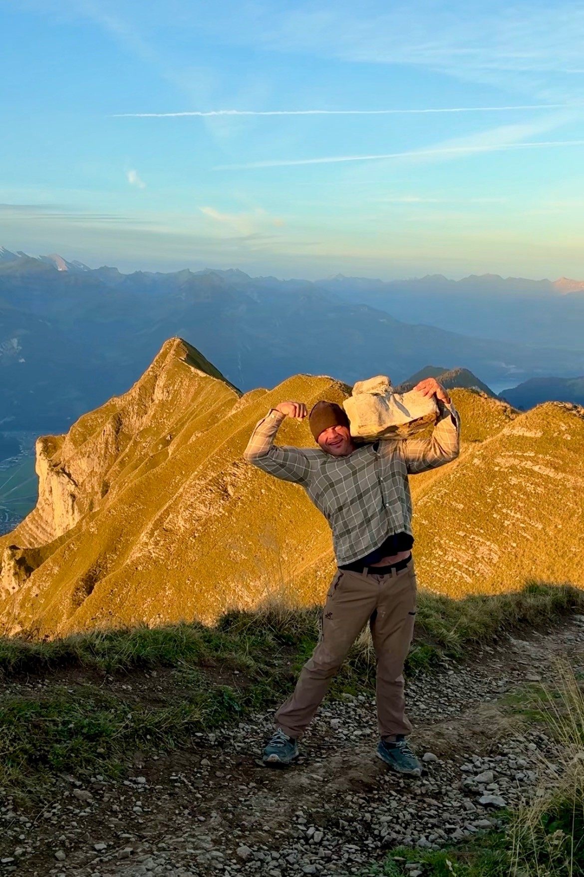
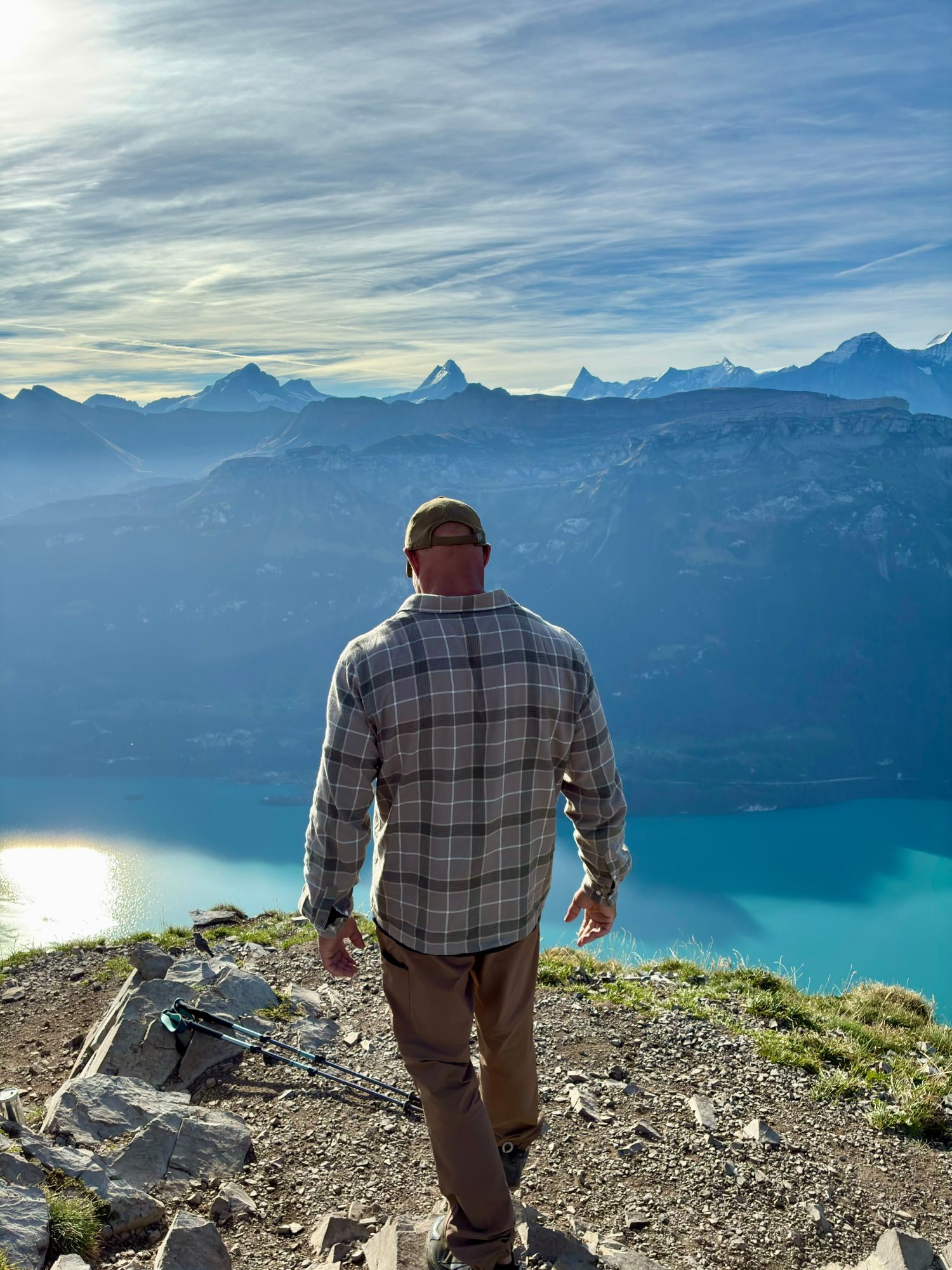
Once the sun was properly up, the snow-capped peaks of the Bernese Alps came into full view across the lake.
Along the ridge to Suggiture
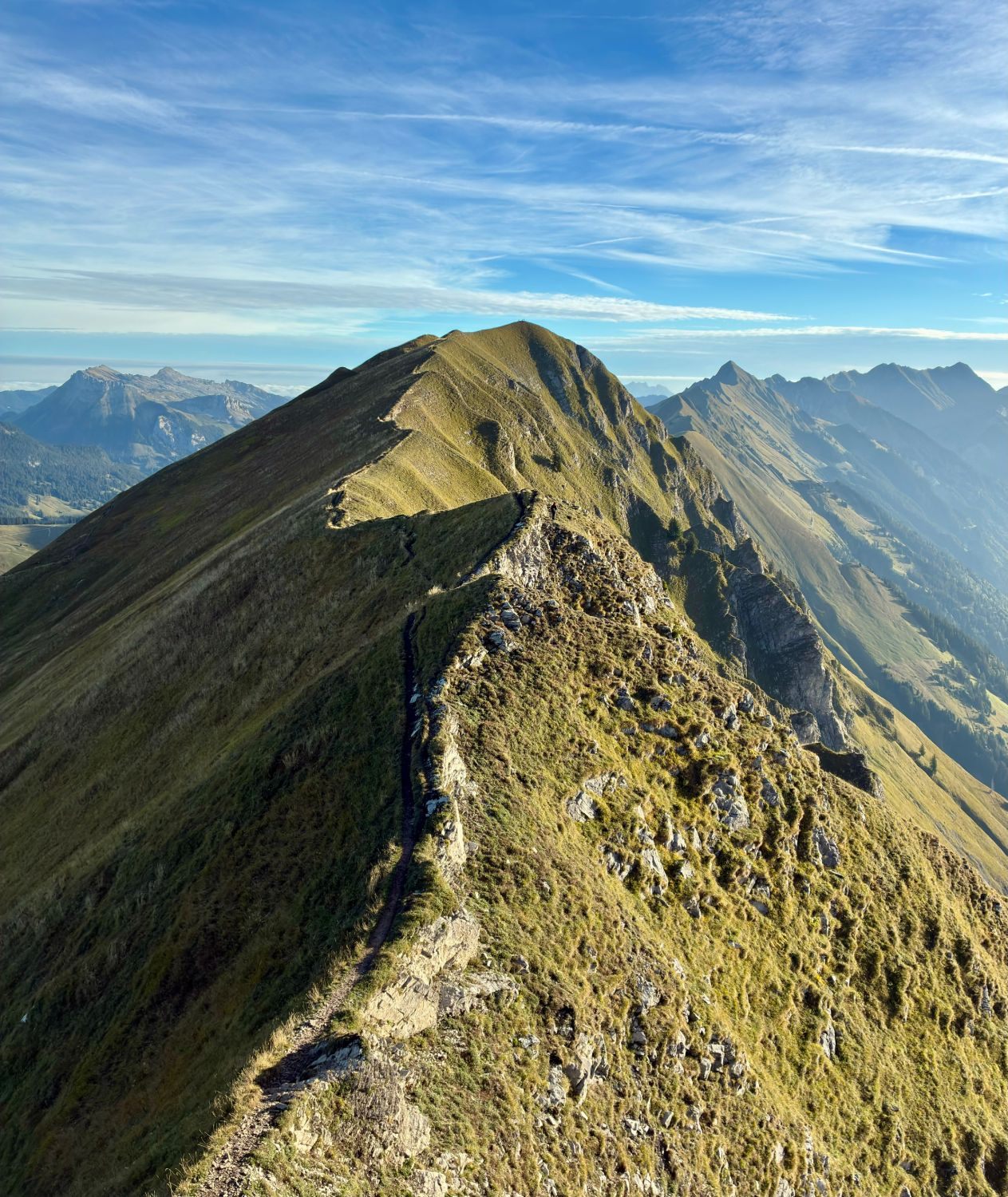
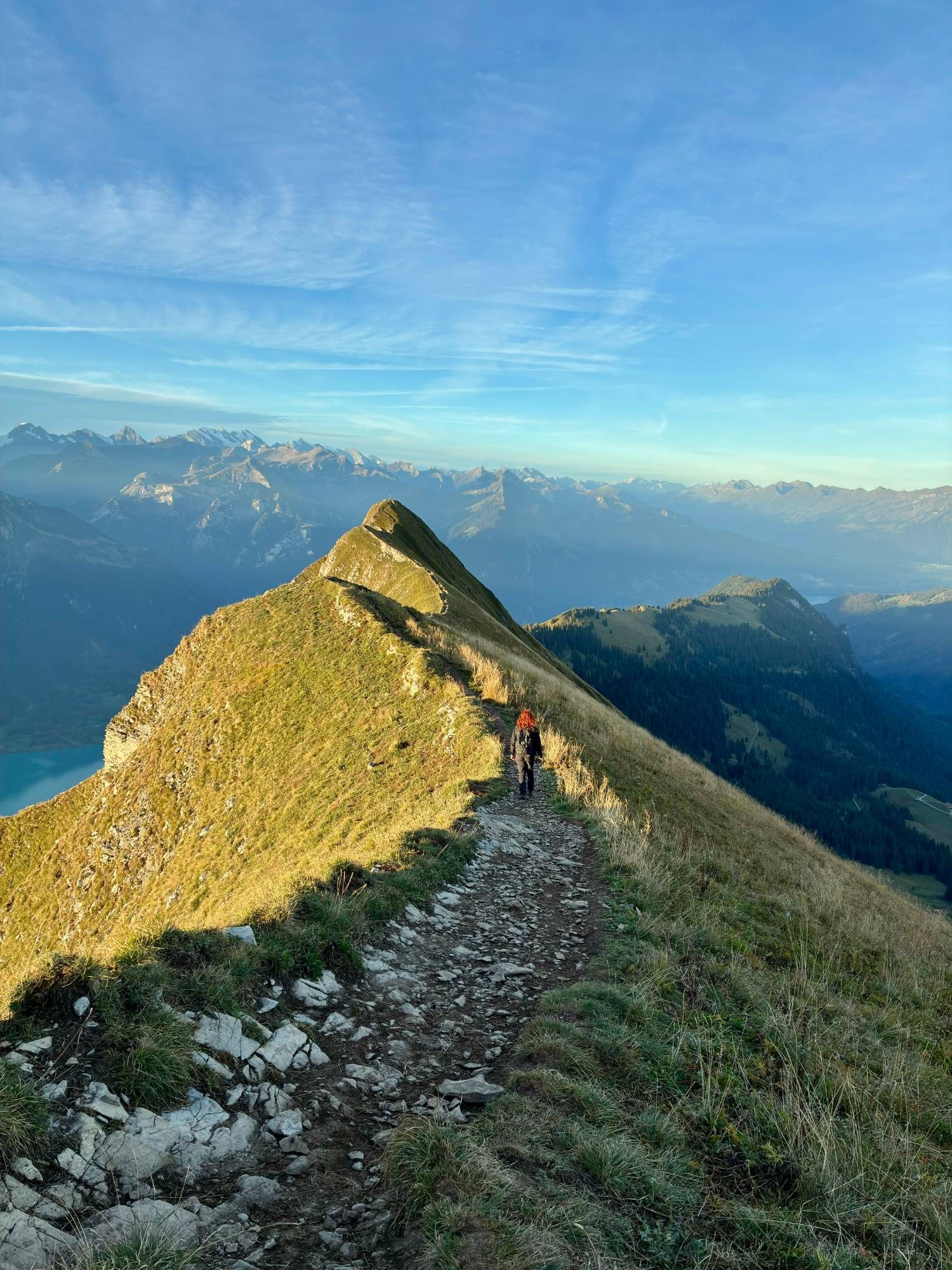
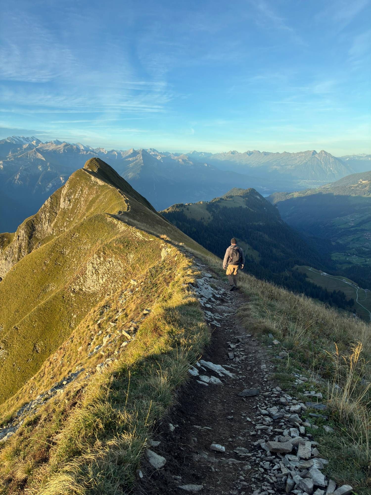
From the Augstmatthorn we followed the ridge on to Suggiture. For us, this is where the hike stops being "a climb" and becomes a real mountain experience.
The ridge is stunning, and the views continue almost the entire way. The route is well marked. In a few places the terrain feels more exposed, with steep drops beside the path – but we didn't find it extreme, and it didn't cause us any problems with fear of heights.
With proper hiking shoes, we found the ridge safe and fairly easy once the first climb was behind us. That's our own assessment, though: weather, wet ground and how you personally feel about exposure can change the experience a lot.
See the hike in motion
Photos only tell half the story – here's our reel from the Augstmatthorn hike.
The hard part is the first climb
For us, the toughest section was clearly the initial ascent. Once you're up on the ridge, the rest feels much easier: it's more about walking along the top, enjoying the view, taking photos and taking in the landscape.
So most of the physical effort is concentrated at the start. If that part feels manageable, the rest of the day is pure reward.
How long should you allow?
Our AllTrails recording shows 6.07 km and 561 m of ascent, with 2 hours 52 minutes of moving time and just under 4 hours of activity time.
In reality, we spent around six hours on the whole outing. Not because the route takes six hours to walk – but because we went very slowly, took lots of photos, had long breaks, ate our packed lunch, and spent a long time on the summit waiting for and enjoying the sunrise.
So plan for the walking time, but give yourself plenty of extra time for the experience.
Why you should start early
This is our clearest recommendation. We started around 5:15am with head torches because we wanted to be on the ridge at sunrise, and it turned out to be a fantastic decision.
On the way up we had almost the whole trail to ourselves, and we stood alone on the summit as the sun came up.
When we started heading down around 11–11:30am, it was a completely different scene. More and more people were arriving at the trailhead, and on the last part of the descent we passed lots of hikers on their way up.
We stood alone on the summit at sunrise. On the way down, we passed what felt like half of Switzerland coming up.
If you can, start very early with a head torch. You won't regret it.
Where we stayed and how we got there
The night before the hike, 20–21 September, we stayed at Hotel Horner (the Horner Pub) in Lauterbrunnen, booked through Booking.com (where it's listed as Hotel Hornerpub) – here's how we spent the afternoon in Lauterbrunnen. We had a small room with two single beds and a shared bathroom down the hall, and paid CHF 110 for the night, plus a local tourist tax of CHF 3.50 per person, paid at the hotel – CHF 117 in total for the two of us. Prices change with the season, so check current rates.
We got around with a rental car from Enterprise, which is how we drove up to Lombachalp before dawn.
What to bring
- Hiking shoes with proper grip – the lower part can be muddy, the ridge rocky
- A head torch if you start before sunrise
- Plenty of water
- A packed lunch and snacks
- AllTrails or another offline map as backup
- Layers for the ridge – it can be cold and windy at dawn, even when it's warm later
- Thin gloves and a hat for the early start
We wouldn't do this hike in sandals, flip-flops or regular trainers. Even though we found the route fairly safe and straightforward, it's still a mountain hike with real ascent, uneven ground and a few exposed sections.
Practical information
| Summits | Augstmatthorn approx. 2,137 m · Suggiture 2,085 m |
|---|---|
| Location | Above Lake Brienz, Bernese Oberland, near Interlaken |
| Start | Lombachalp, above Habkern – reached by a narrow, paved mountain road |
| Our route | AllTrails "Augstmatthorn – Suggiture via Lombachalp" – loop, left at the junction towards the Augstmatthorn first |
| Our hike | 6.07 km, 561 m ascent, 2 h 52 min moving, ~6 h in total with stops |
| Parking | Paid, card accepted at the machine when we visited – check current rates on site |
| We stayed | Hotel Horner, Lauterbrunnen – CHF 117 for two incl. tourist tax (two single beds, shared bathroom) |
| Getting there | Rental car from Enterprise |
| Public transport | PostBus 107 to Habkern, Lombachalp Roteschwand |
| Trail | Well marked; muddy lower section; a few exposed spots on the ridge |
| When we went | 21 September 2026 – started 5:15am, calm and clear |
| Protected area | Federal wildlife protection area – stay on the trail and keep your distance from the ibex |
Our verdict
Augstmatthorn and Suggiture was one of those hikes where the timing mattered almost as much as the route.
Walking up in the dark with head torches, reaching the ridge as the landscape slowly lit up, watching the sun rise and having the mountains almost to ourselves – it was fantastic.
The route isn't very technical, but it does need proper footwear and reasonable fitness for the climb. If we had the choice, we'd do it exactly the same way again: with a very early start.