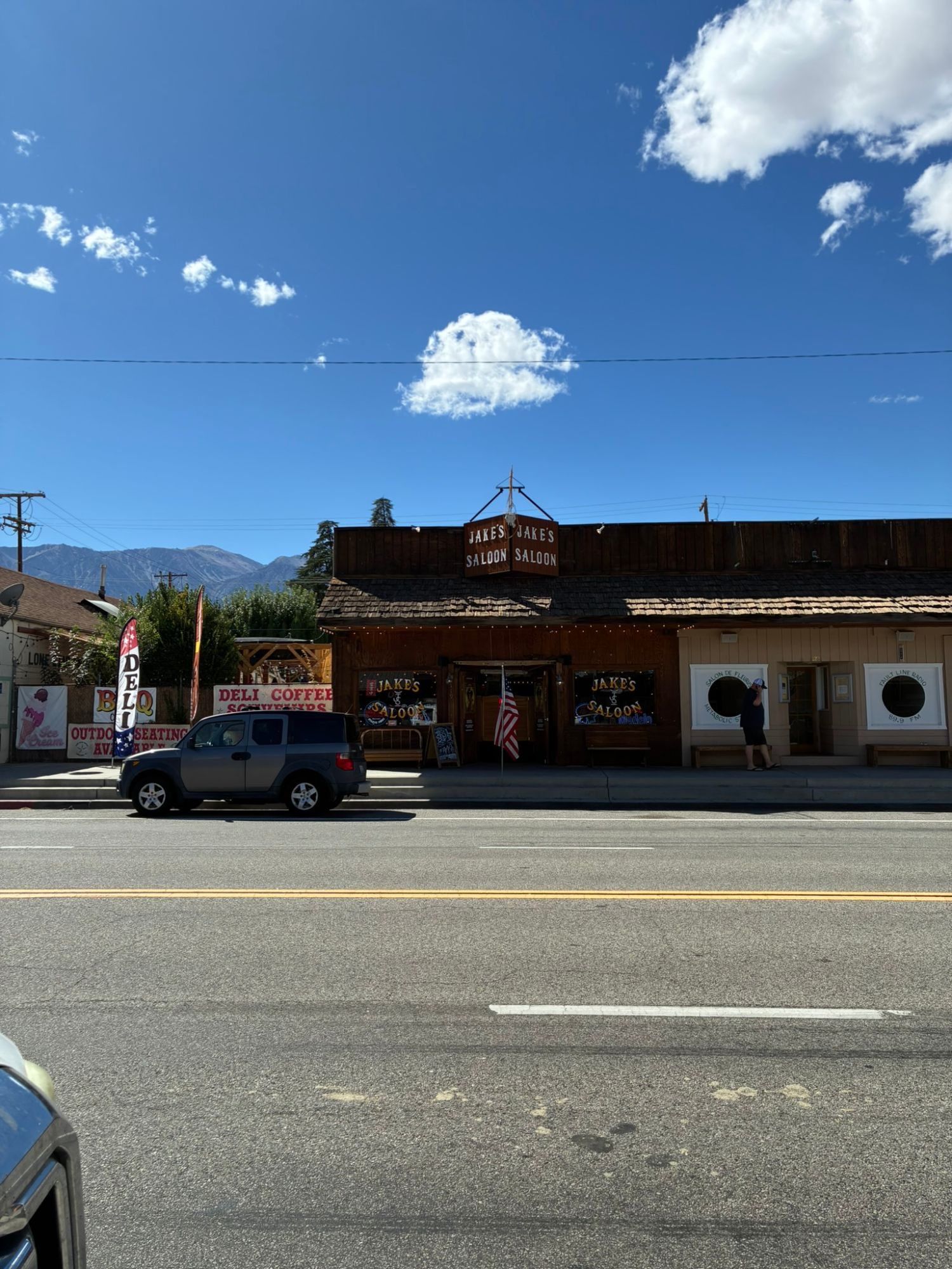
We'd been driving for hours. From Three Rivers, where we'd stayed after our day in Sequoia, the route took us south around the mountains, back up to Lone Pine and then east into the desert towards Death Valley National Park. It was 3 October 2025, and our night was booked at Stovepipe Wells Village Hotel.
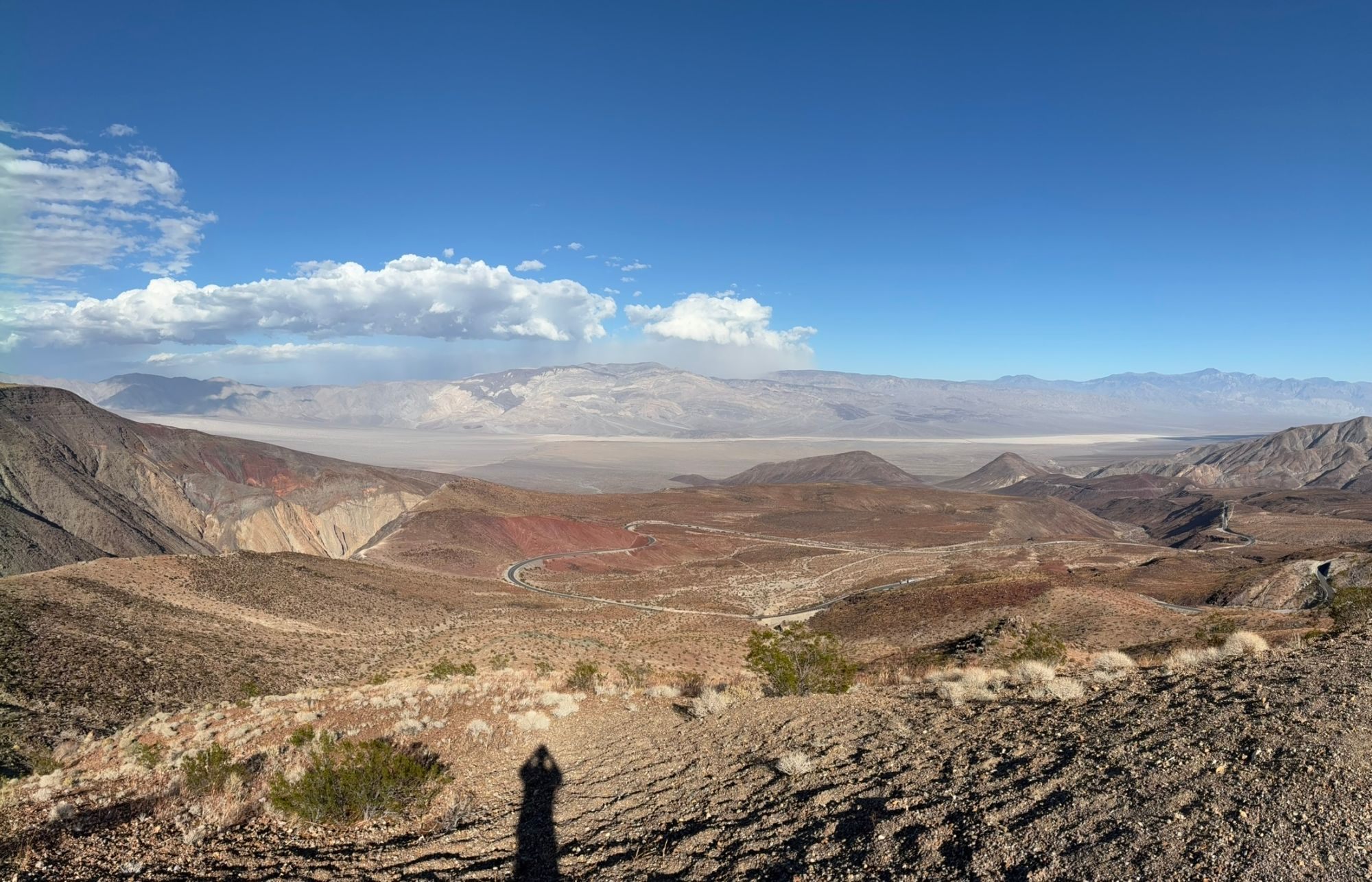
Two kilometres from the hotel, everything changed
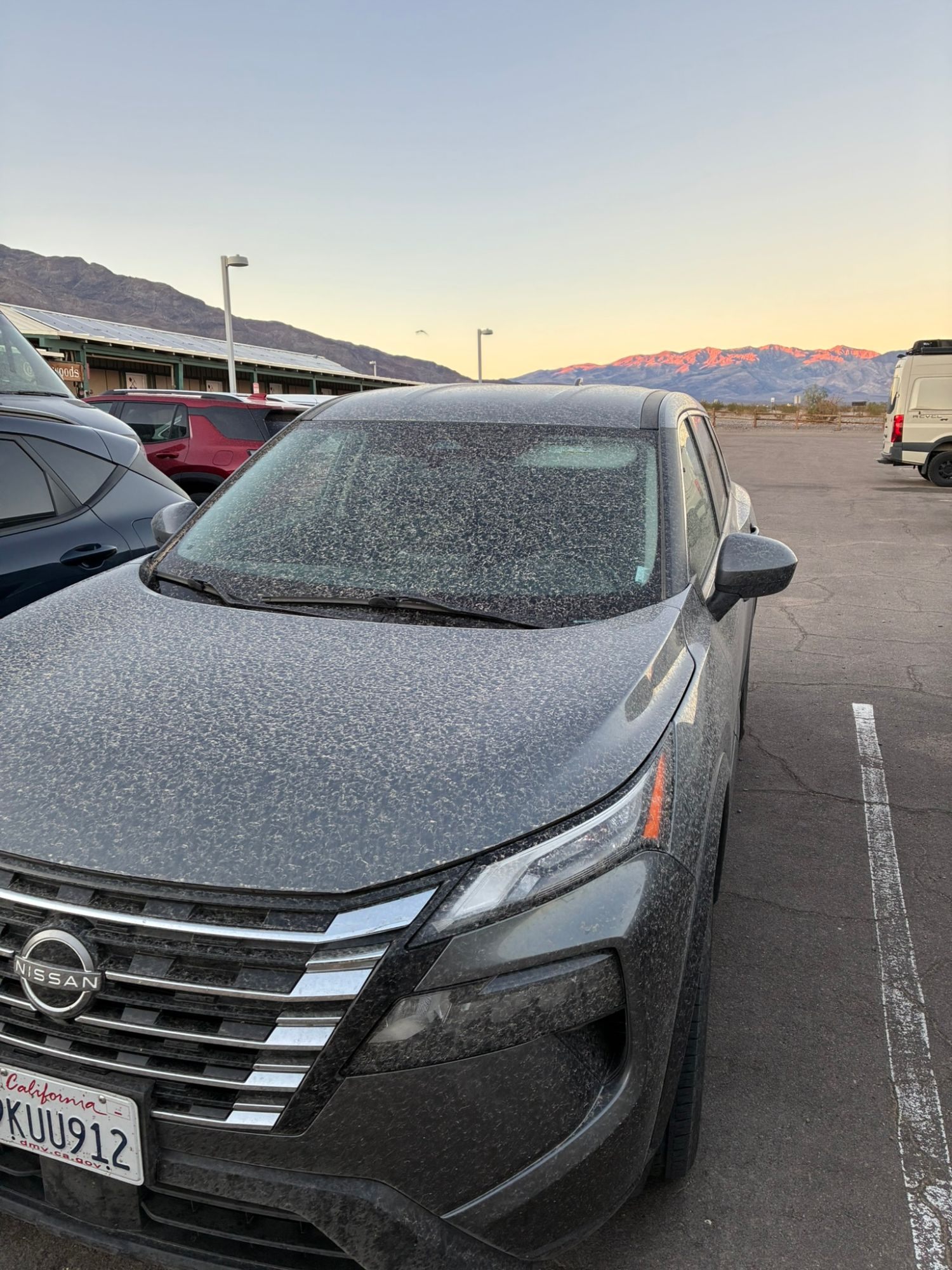
With only about two kilometres left to the hotel, the weather turned. A fierce sandstorm swept across the valley – hard wind, sand everywhere, and the landscape around us disappearing into grey. It felt like driving into a scene from Mad Max.
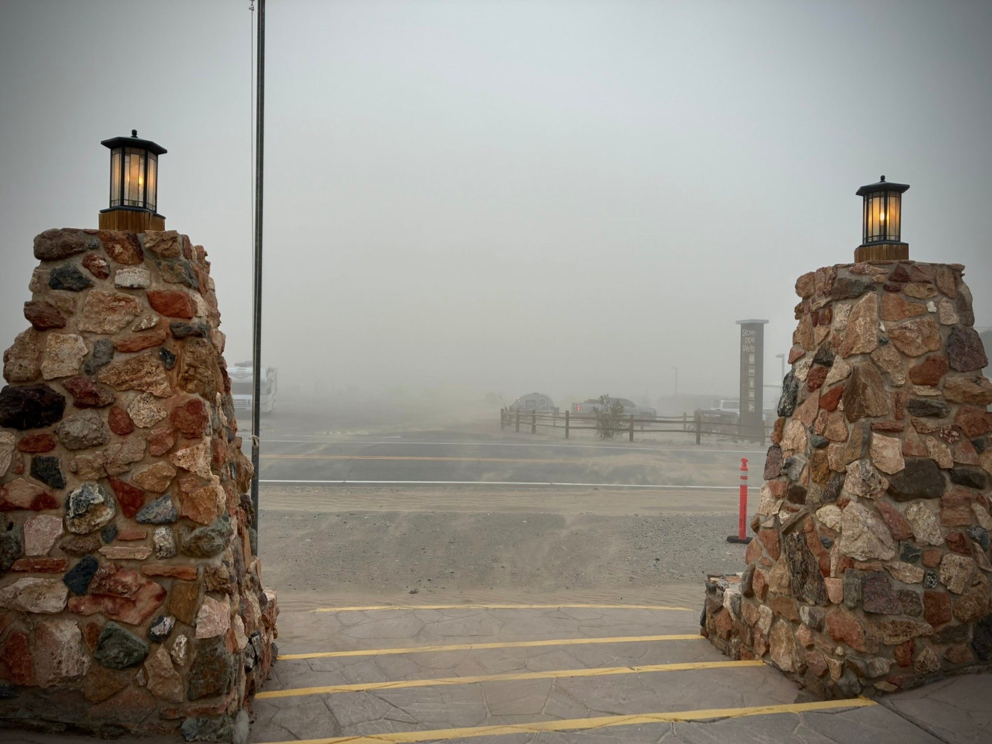
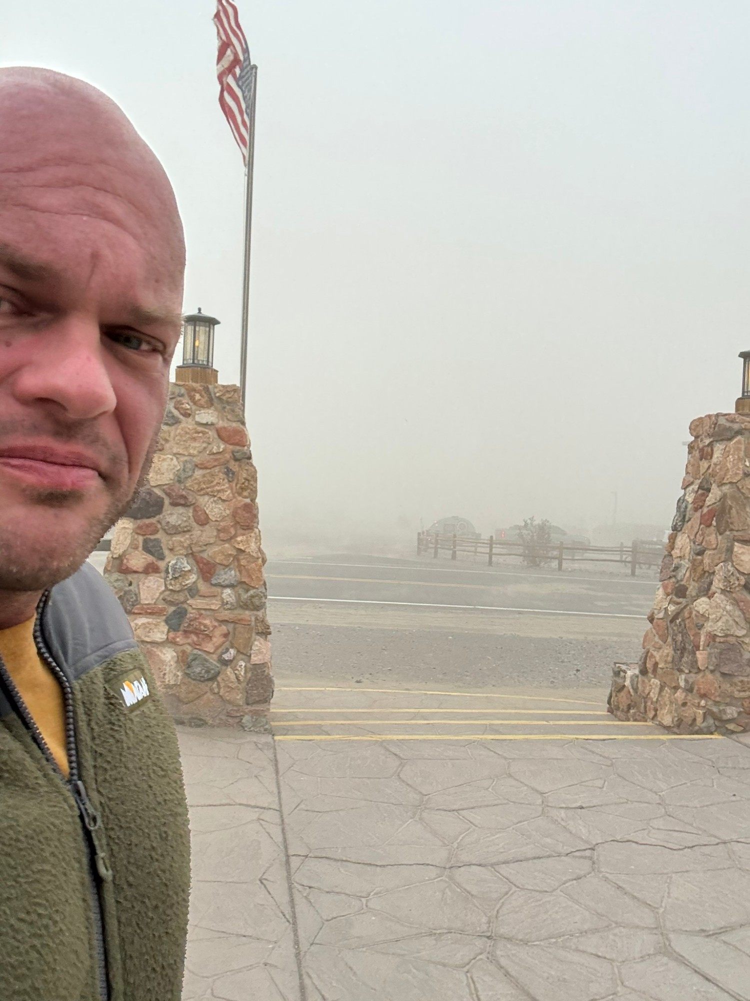
People were being ushered indoors, and the hotel became a place to shelter. We were heading there anyway, so there was no reason to stay out in it.
A room full of sand
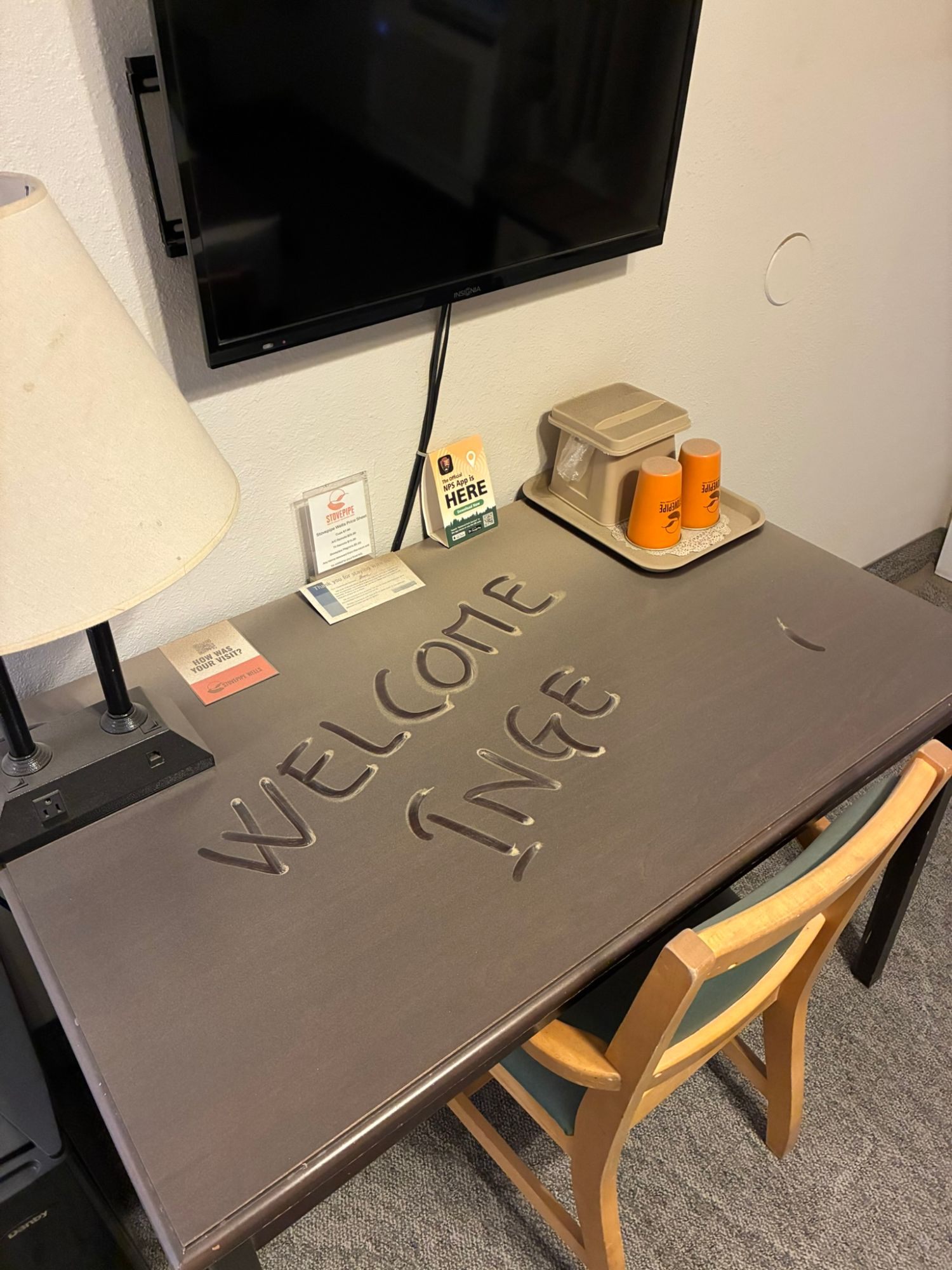
We'd booked Stovepipe Wells Village Hotel through Hotels.com because it's inside the park – the idea was to explore rather than just drive through. The storm followed us inside: Inge's room was full of sand. The staff moved her to a room on the other side of the building, where there was much less.
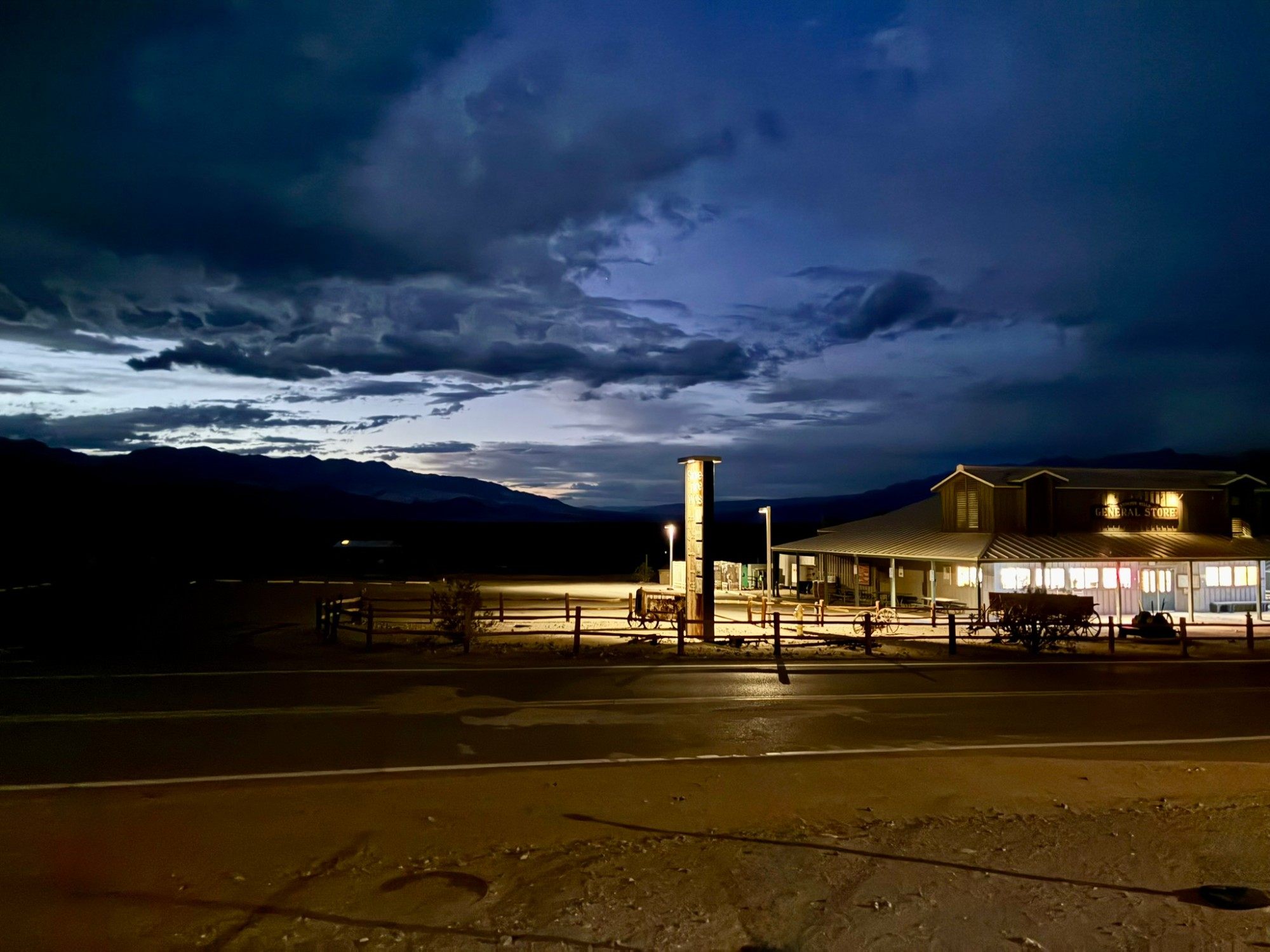
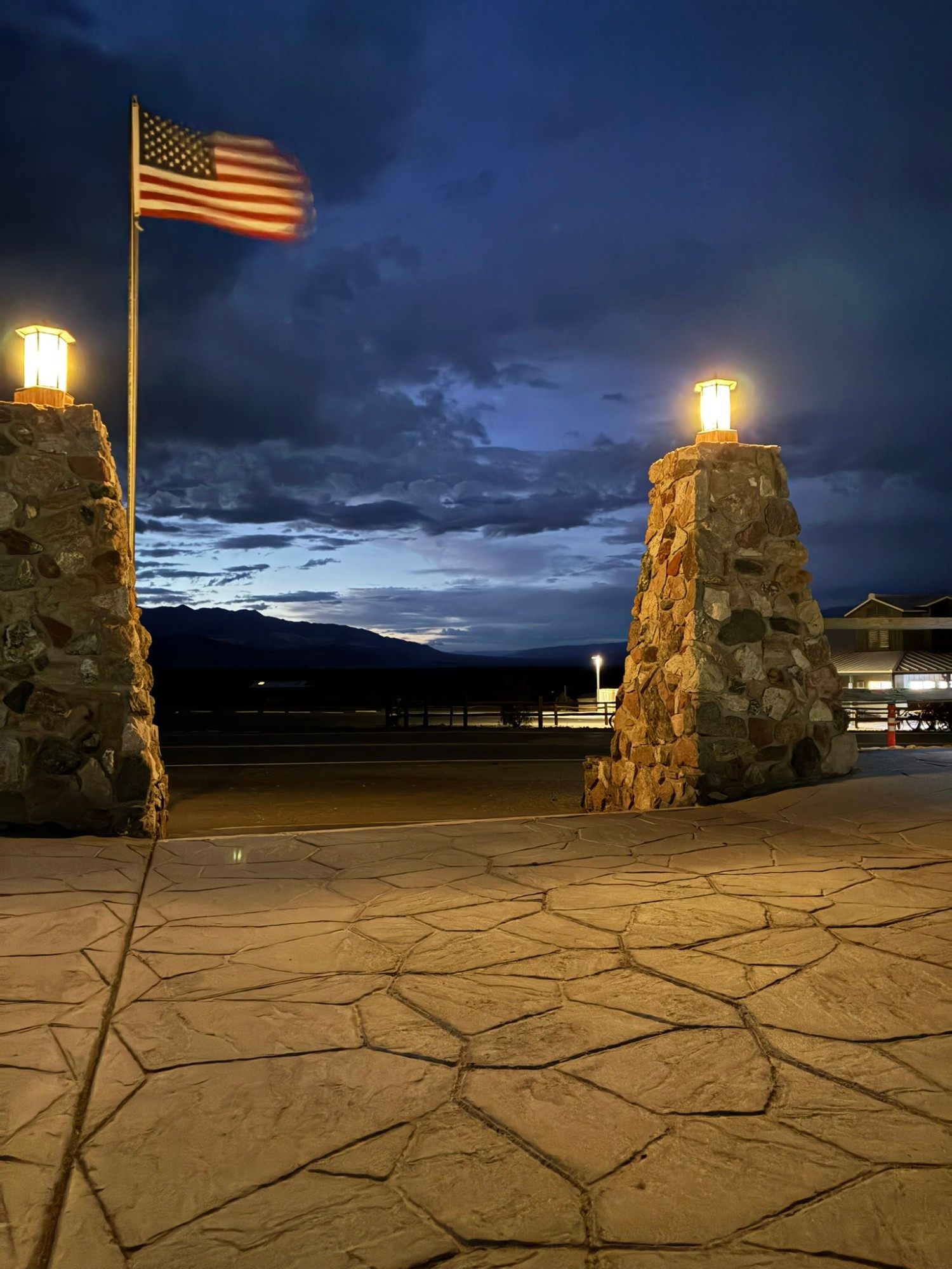
The strangest part was how fast it was over. The storm arrived out of nowhere and disappeared just as quickly, and by evening the sky over the general store was dark blue and calm again.
A desert we couldn't fully explore
The next day we had a long drive ahead to Tropic in Utah, near Bryce Canyon – more than six hours. Badwater Basin and several other places were high on our list, but we couldn't follow the route we'd planned. On 18 September 2025 the remnants of Tropical Storm Mario had brought heavy rain to the park, and the National Park Service closed several roads because of storm damage – Badwater Road among them. The main route, CA-190, and the road up to Dante's View stayed open. We had to pick a few stops and accept that the rest would wait for another visit.
It was frustrating. That's one of the realities of road-tripping through remote parks: a route that looks easy on a map at home may not be possible when you arrive.
Mesquite Flat Sand Dunes
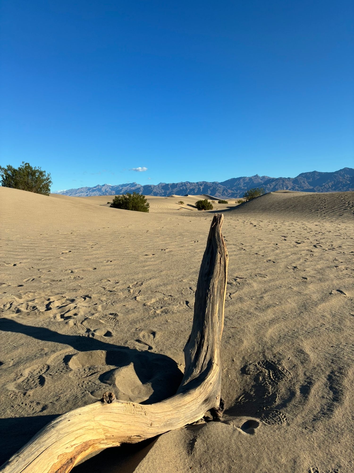
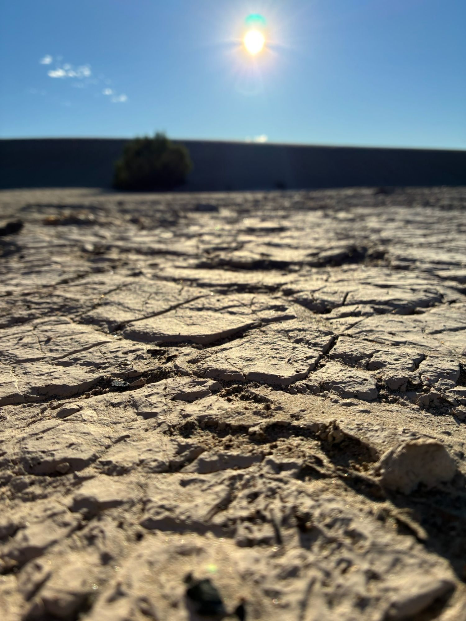
Close to Stovepipe Wells, we walked out onto the Mesquite Flat Sand Dunes – rippled sand, bleached driftwood and cracked mud between the dunes, with the mountains all around.
Zabriskie Point
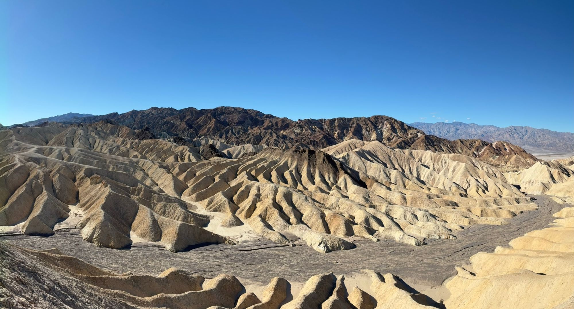
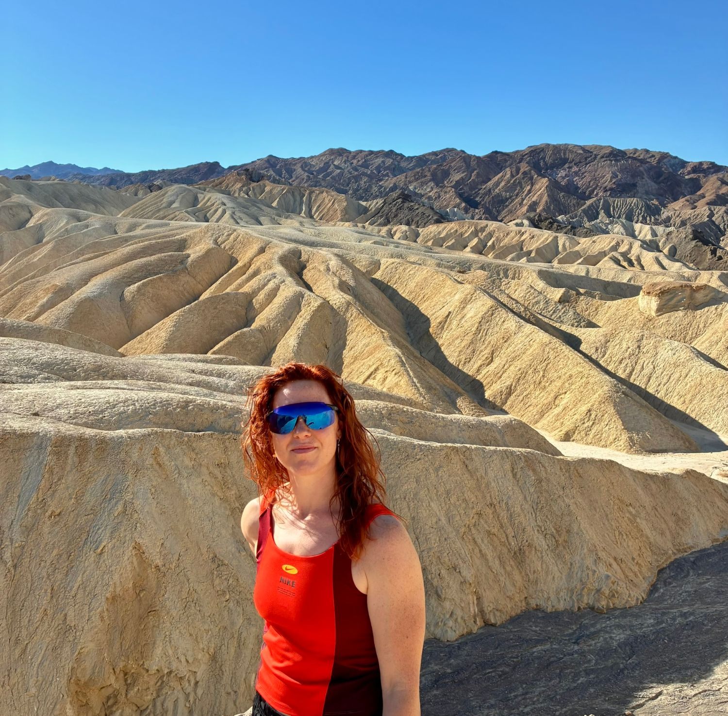
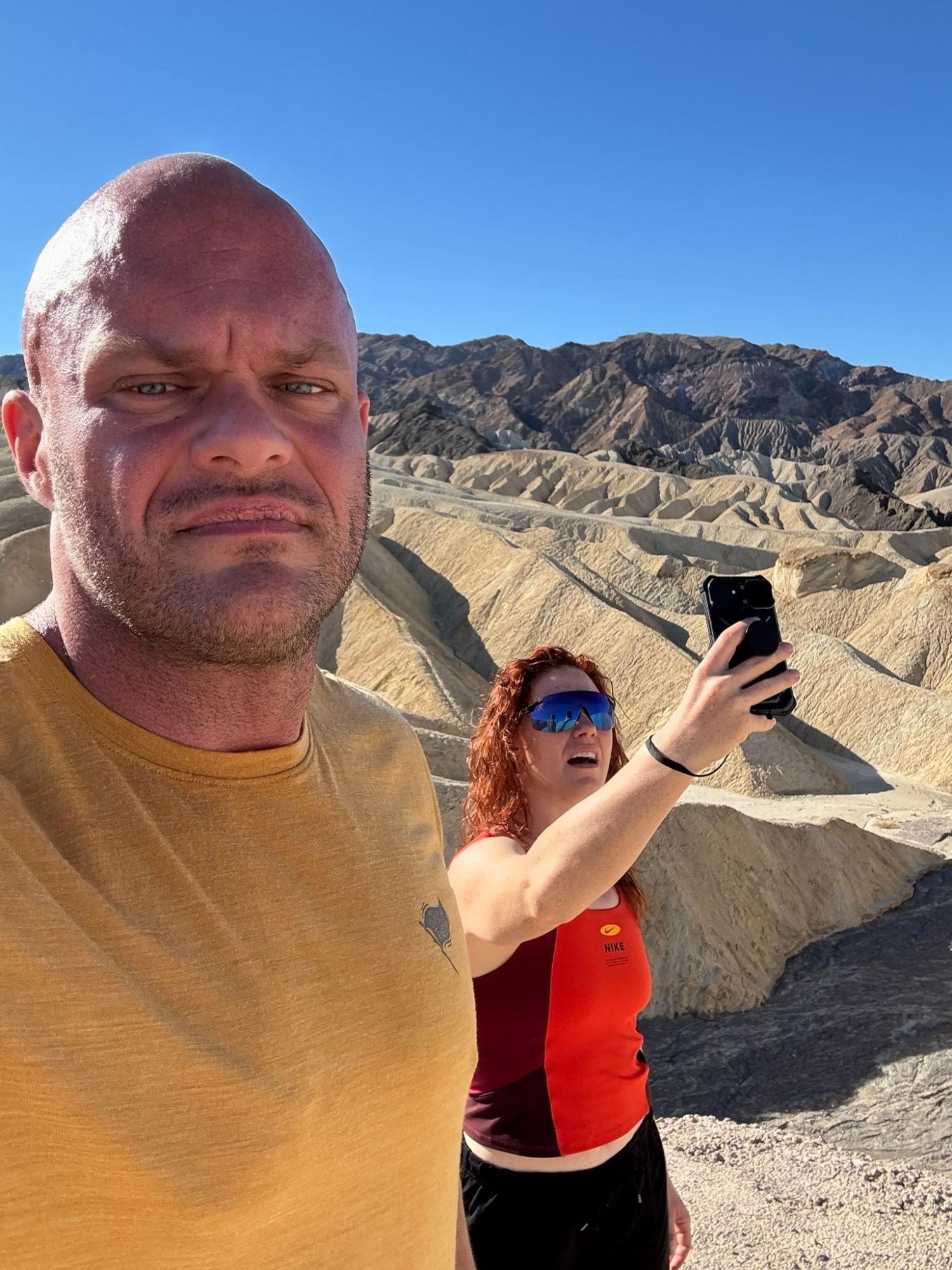
We did make it to Zabriskie Point, with its eroded badlands – ridge after ridge of golden, sculpted hills against darker mountains. After the forests of Sequoia it felt like another planet. We took our photos, but we were watching the clock.
Dante's View
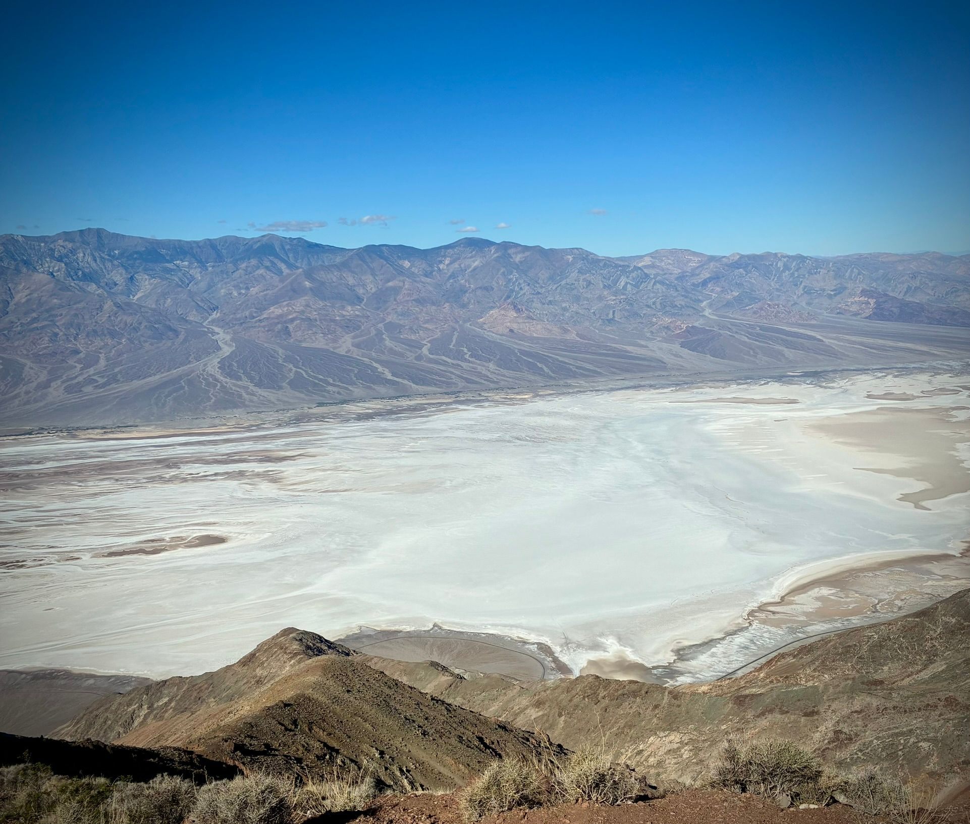
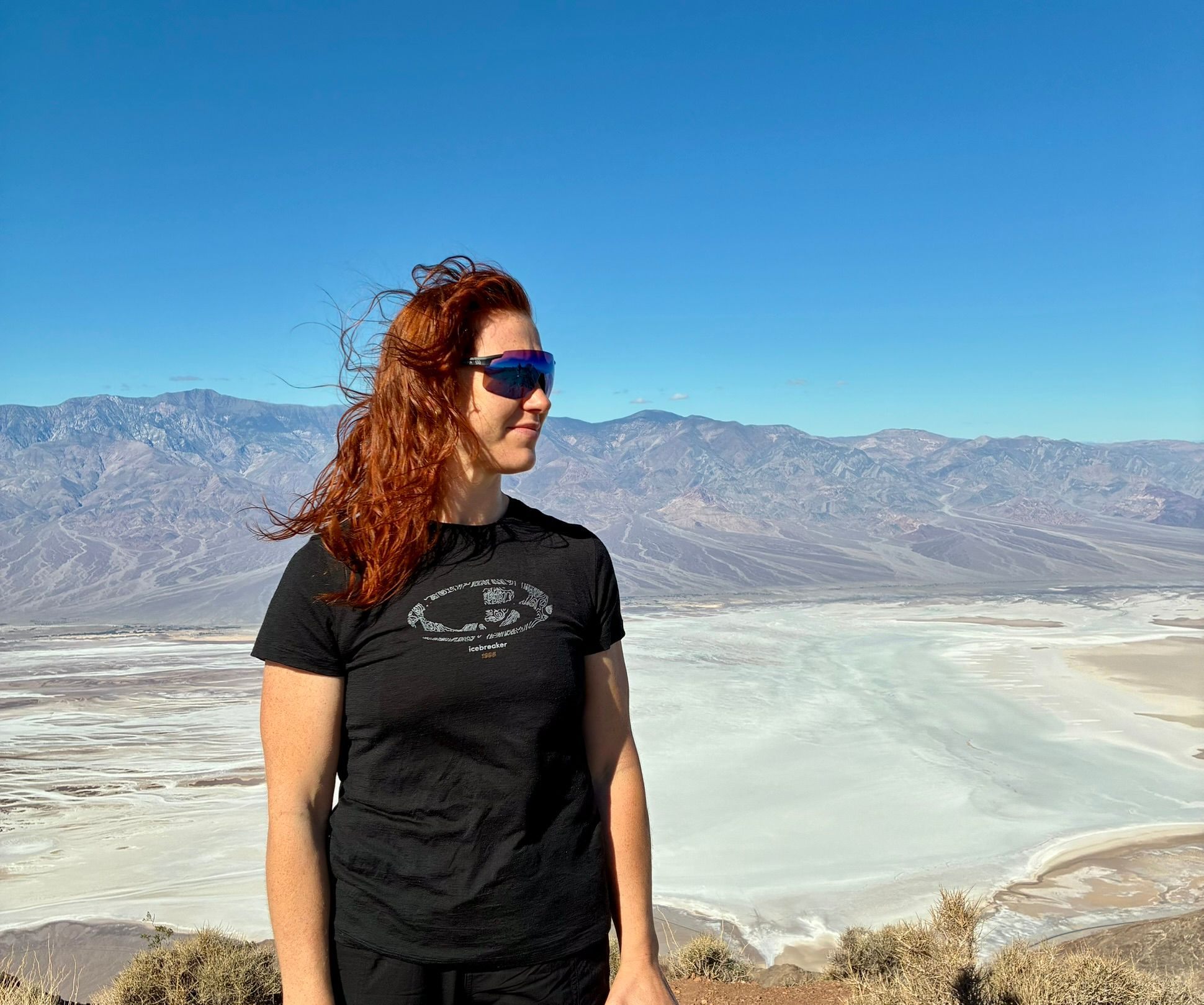
Our last stop was Dante's View, high above the valley. From up there you look straight down on the white salt flats of Badwater Basin with mountain ranges on the other side – the one place where the scale of Death Valley really made sense to us. A photo shows it; it doesn't really capture the size.
Was Death Valley worth it?
Death Valley left us with mixed feelings. The sandstorm was extraordinary – not something we'd planned, and a story we'll keep telling. But we never got to slow down and experience the park the way we'd hoped. That's why it doesn't rank very high among the stops on this road trip: not because the landscape lacked interest, but because what we saw made us want much more.
We wouldn't rule out going back in better conditions. From here we drove on towards Tropic, Utah, for Bryce Canyon – where Kristine and Inge were going riding and I had a hike in mind.
Practical information
| When | 3–4 October 2025, one night |
|---|---|
| Route | Three Rivers – Lone Pine – Stovepipe Wells; next day on to Tropic, Utah (6+ hours) |
| We stayed | Stovepipe Wells Village Hotel, inside the park (booked via Hotels.com) |
| We saw | Mesquite Flat Sand Dunes, Zabriskie Point, Dante's View |
| Before you go | Check current road status on the official NPS Death Valley conditions page. Badwater Road was closed by storm damage in September 2025 (NPS) |