On 24 August 2023 we climbed Ben Nevis, the highest mountain in the UK at 1,345 metres. We didn't take the standard Mountain Track. We went for the Càrn Mòr Dearg Arête – the CMD Arête – a longer, rougher route with a narrow, exposed ridge between Càrn Mòr Dearg and the Ben.
It was our first big mountain day together in Scotland, and it tested us far more than we'd expected: navigation problems, rain and thick cloud on an exposed ridge, a freezing summit, a lost return route – and a car park we didn't reach until 9.45pm. It's one of the best things we've done. It's also a list of lessons.
The short version
Ben Nevis via the CMD Arête from North Face Car Park, down the Mountain Track. The route in AllTrails is 18 km with 1,469 m of ascent – but with our detours and wrong turns, we walked closer to 21 km, as far as I remember. We set off around 9.15am, reached the summit around 4.45pm and were back at the car around 9.45pm. The ridge was a highlight. Our route-finding, clothing and itinerary were not.
Our first big Scottish mountain hike
We woke up at Coire Glas Guest House in Spean Bridge after a long day of driving via the Barevan Stone and Glenfinnan Viaduct – which itself came the day after lifting the Dinnie Stones.
I'd climbed Chulu Far East in Nepal before, so I felt confident about my own fitness. But high-altitude experience doesn't automatically mean you know how to find your way across an unfamiliar Scottish mountain in cloud. And I wanted Kristine to share this kind of adventure with me – but I hadn't really explained how demanding this route could be. We were enthusiastic and ambitious. We underestimated how much experience, preparation and navigation the CMD Arête asks for.
Starting at North Face Car Park
We drove to North Face Car Park near Torlundy, on the north side of the mountain. We knew where the car park was; we hadn't prepared an offline map of the full route. While we sorted our packs, the weather looked decent, so I left my long-sleeved thermal base layer in the car to save weight. That turned out to be the most memorable mistake of the day.
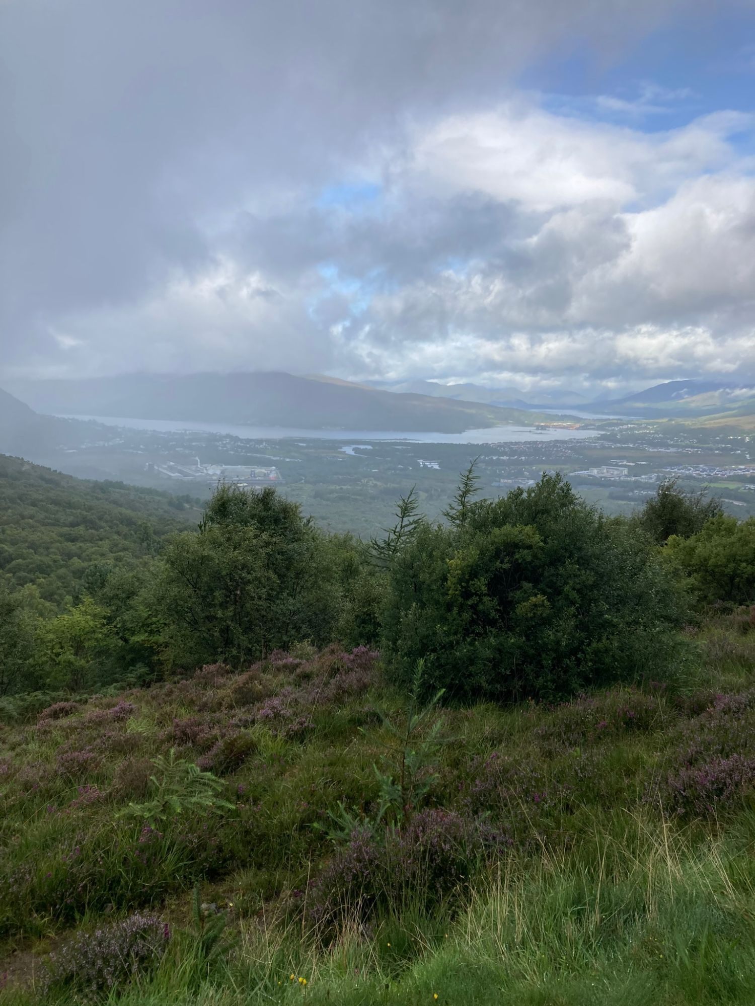
We started walking around 9.15–9.20am. The first part is gentle: forest tracks, rain showers, and views opening up back towards Fort William and Loch Linnhe.
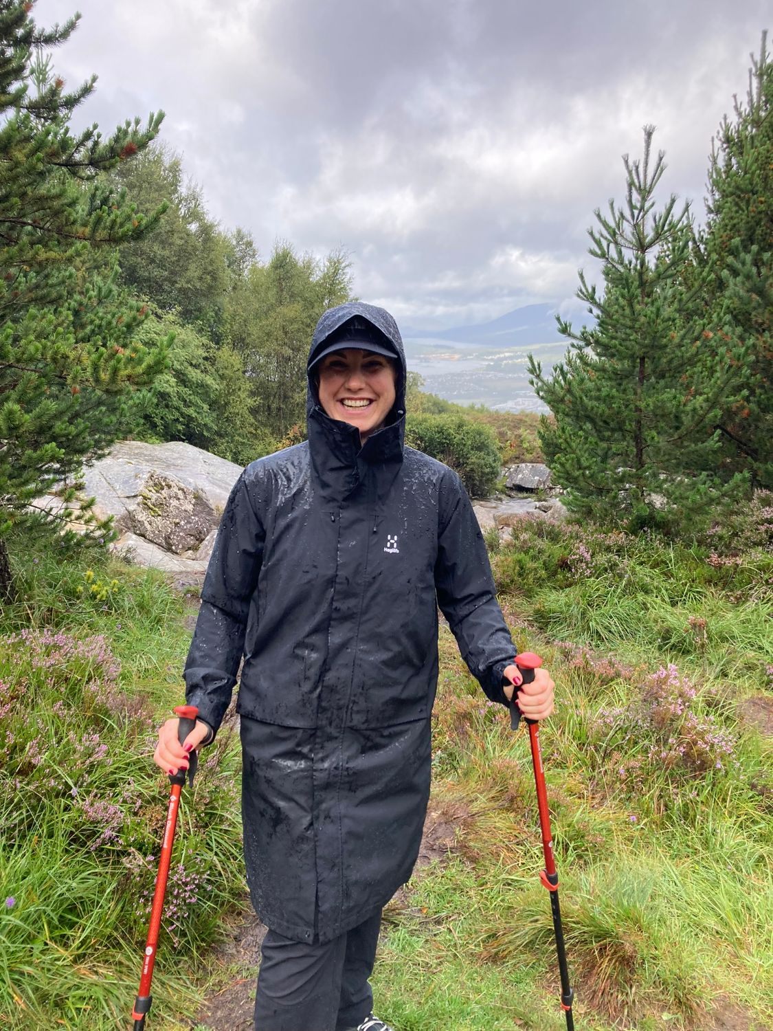
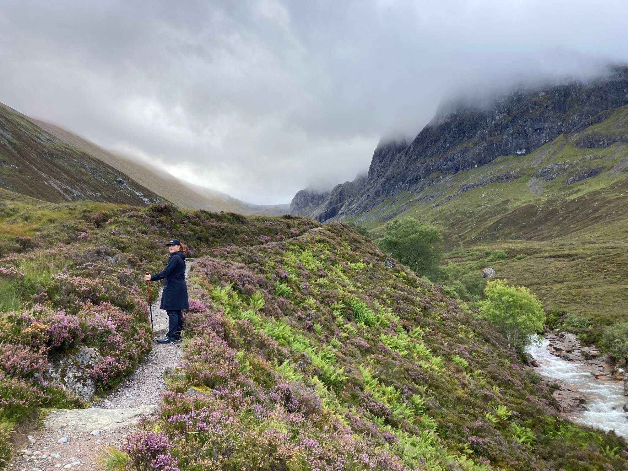
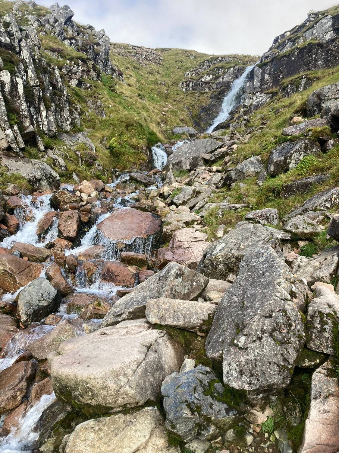
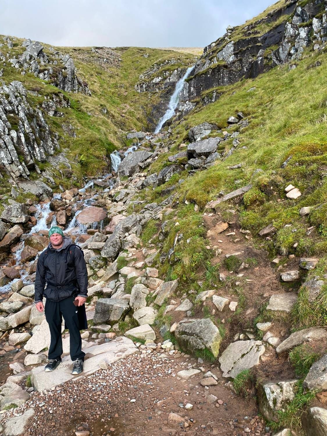
Then the path follows the Allt a' Mhuilinn into the glen below the huge north face of Ben Nevis, with heather in full bloom.
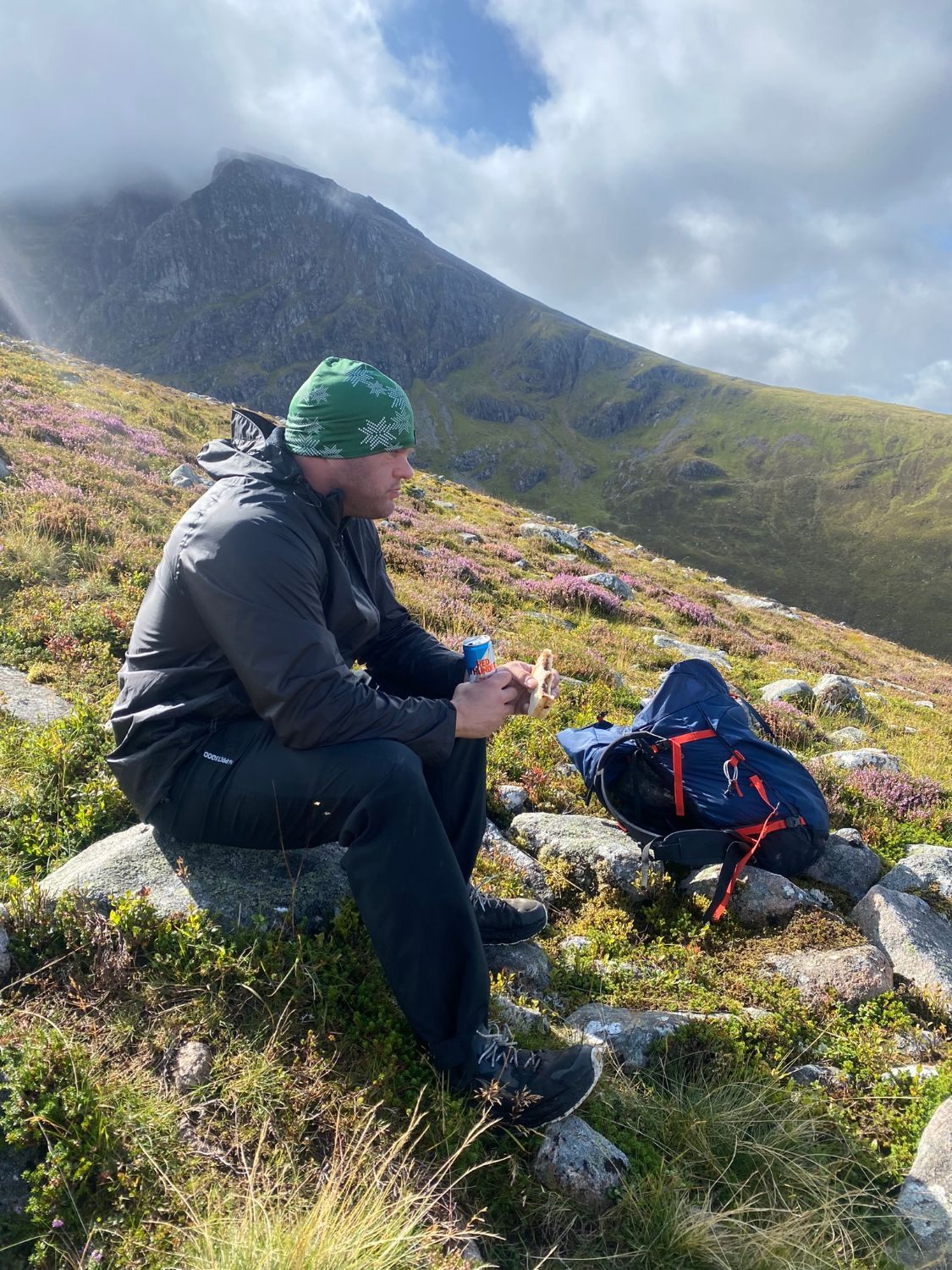
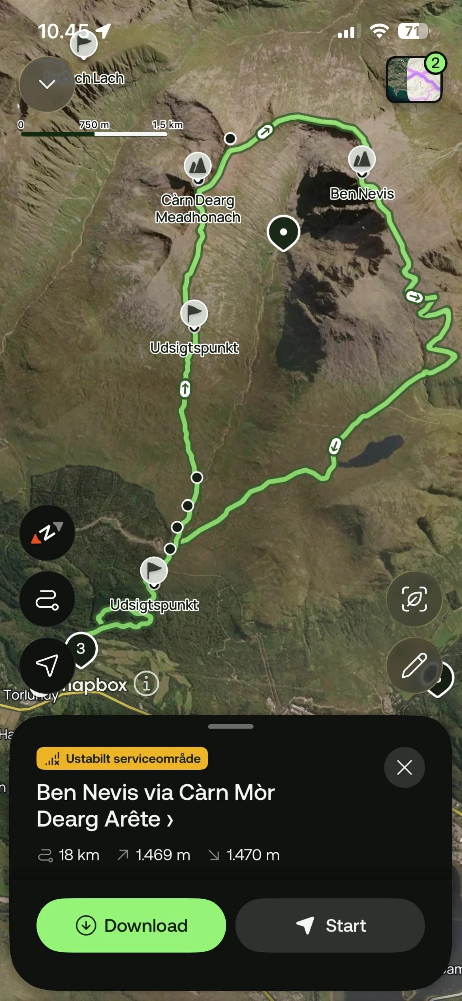
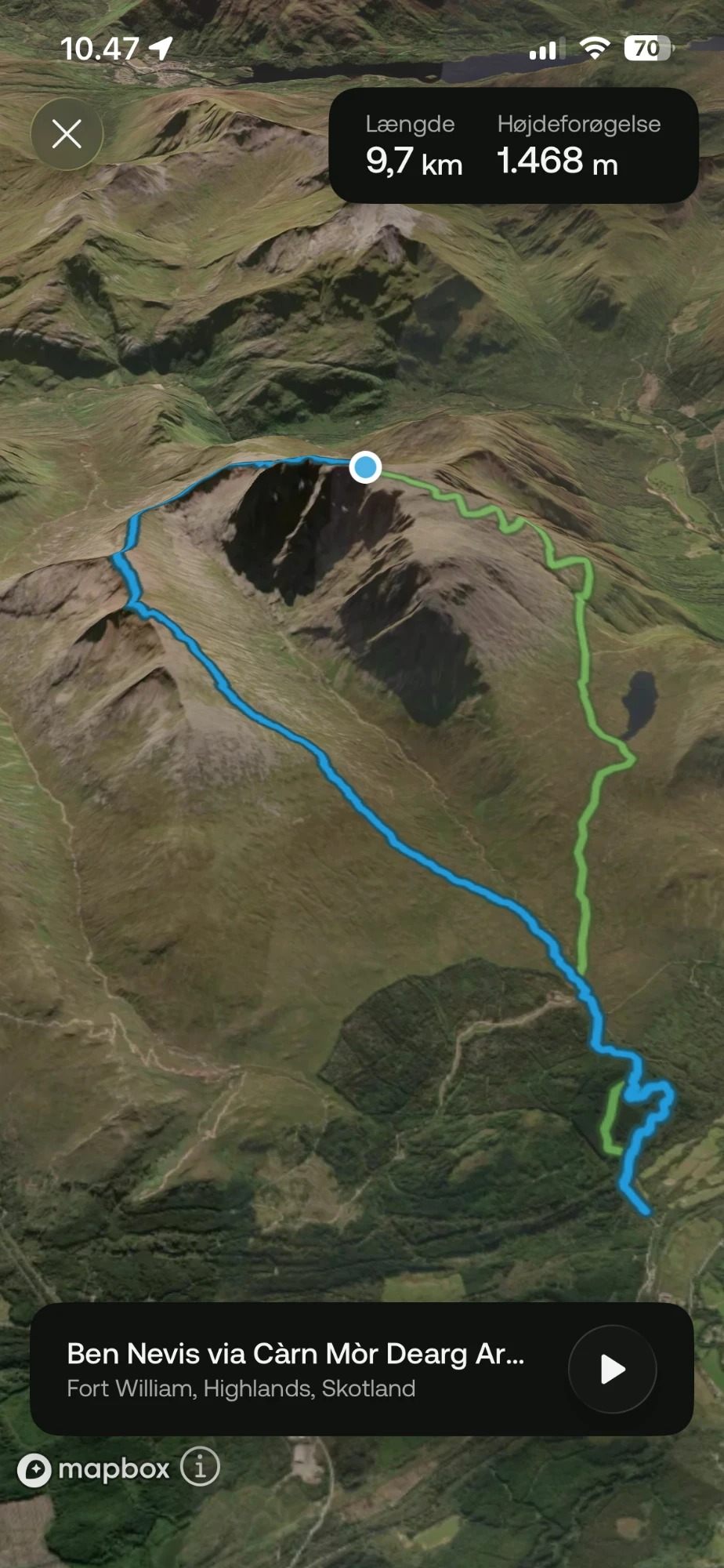
Route background: Walk Up Ben Nevis – CMD Arête from North Face Car Park and bennevis.co.uk. Published distances and ascent vary between sources.
The long ascent to Càrn Mòr Dearg
This is where our preparation caught up with us. We were relying mostly on Google Maps and what we'd read online – we didn't yet know how much difference a proper hiking app with a downloaded offline map makes. We drifted off the intended line more than once.
The climb towards Càrn Dearg Meadhonach and Càrn Mòr Dearg is long and tiring: boggy patches, uneven ground, then steep slopes of loose red granite where the best line wasn't obvious. It looked nothing like the clearly marked trails we'd get used to on later hikes. And the cloud started coming in.
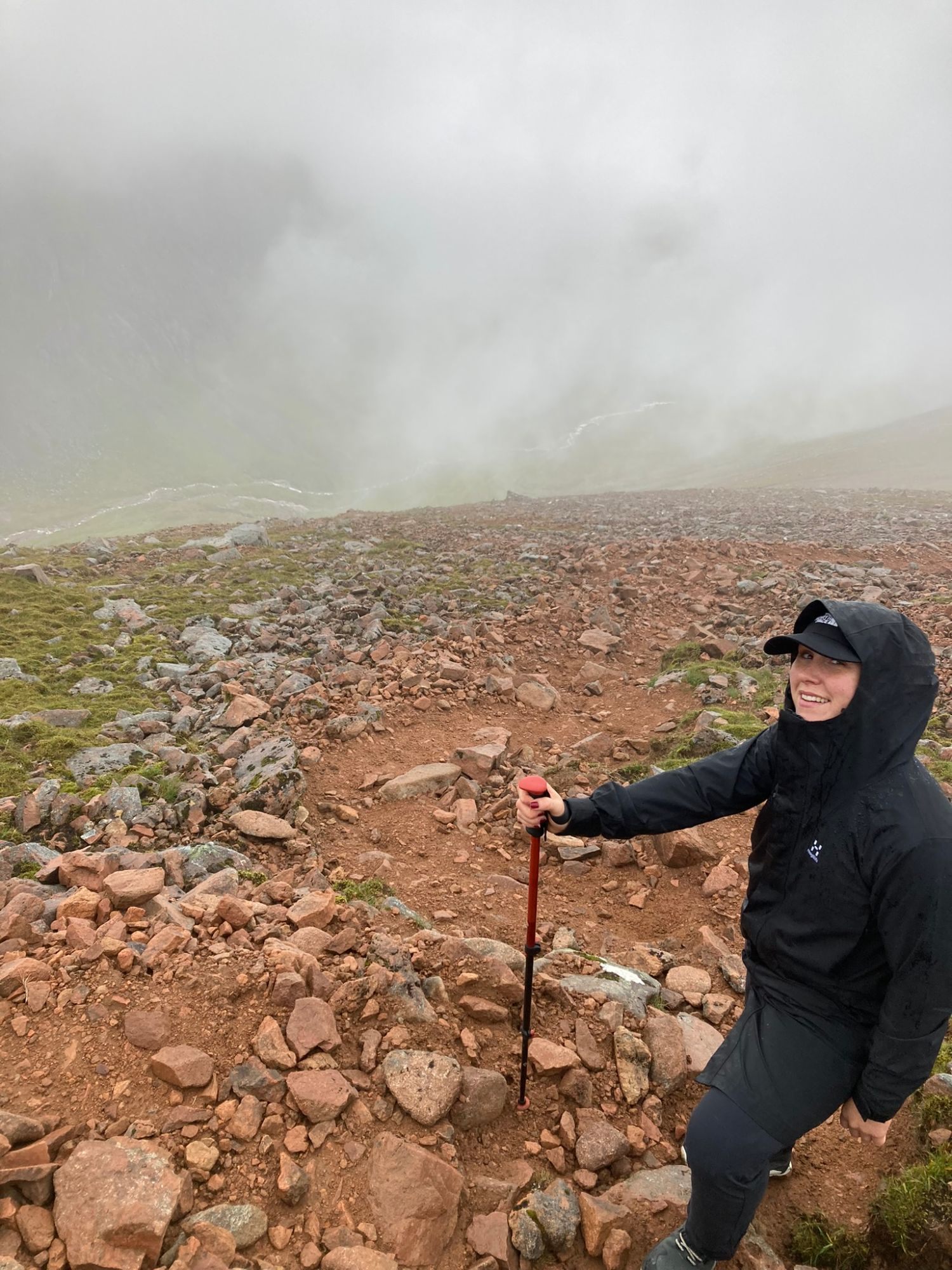
Scrambling along the CMD Arête
From Càrn Mòr Dearg the ridge curves round towards Ben Nevis, and the character of the day changes completely. The CMD Arête is a narrow, rocky crest of big granite blocks, with steep drops on both sides. You pick your footing carefully and use your hands in places.
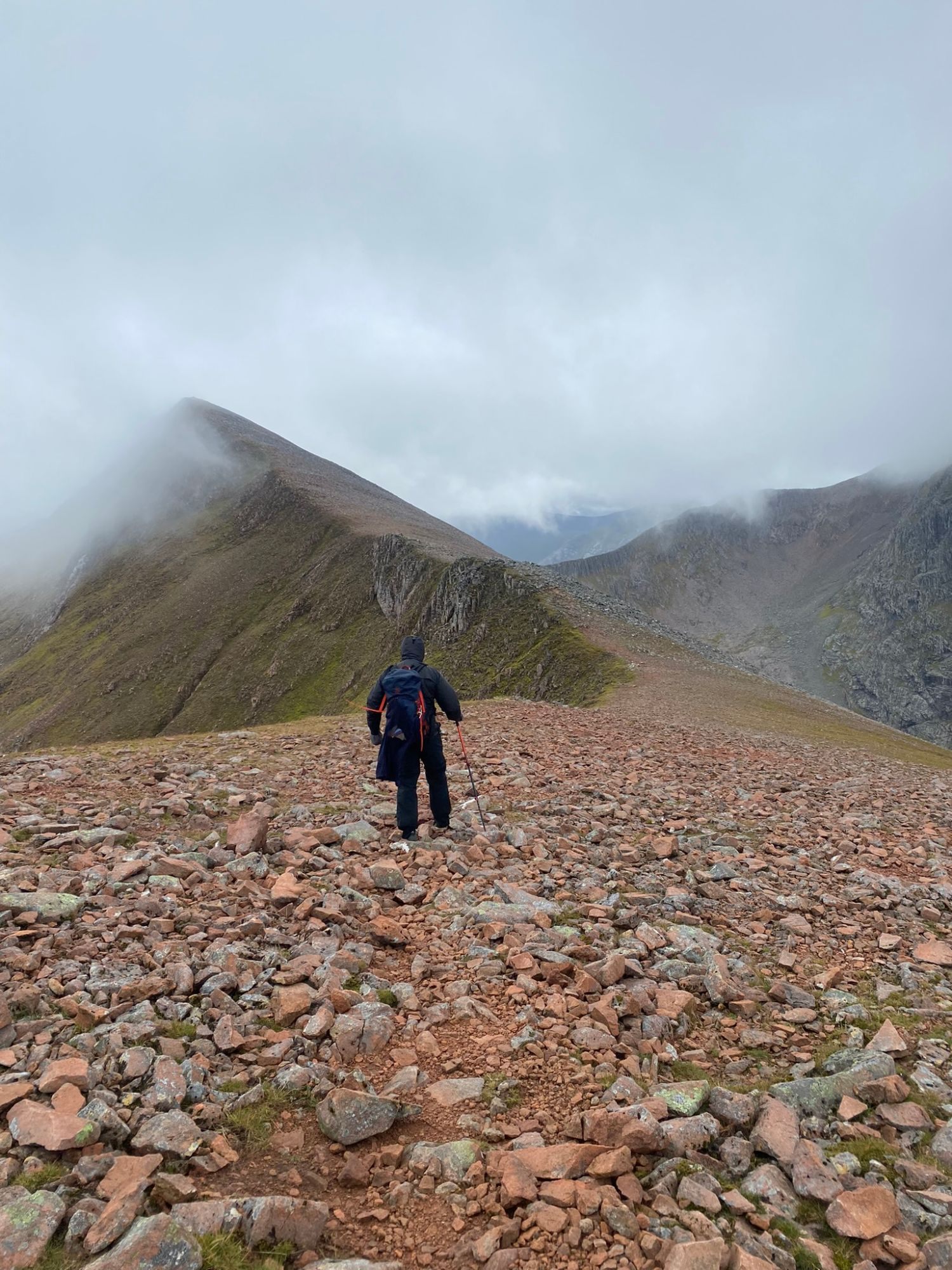
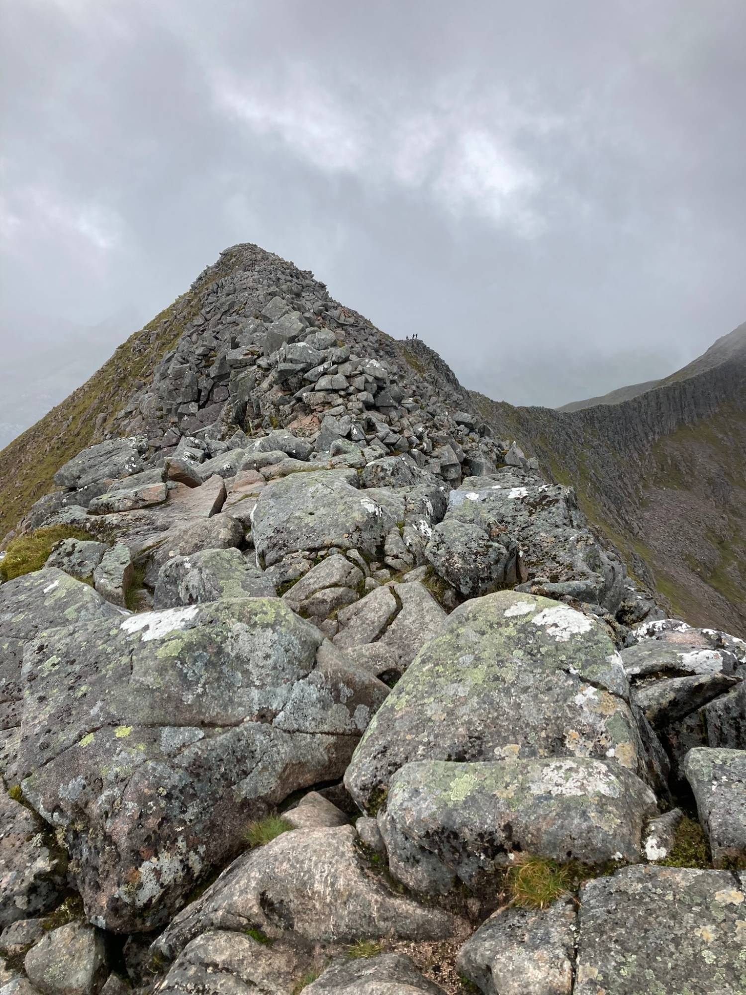
We loved the scrambling. It's a completely different feeling from walking a path, and when the cloud lifted for a moment the views were enormous.
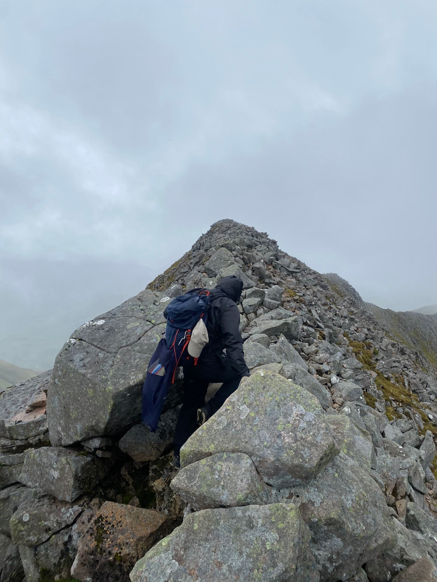
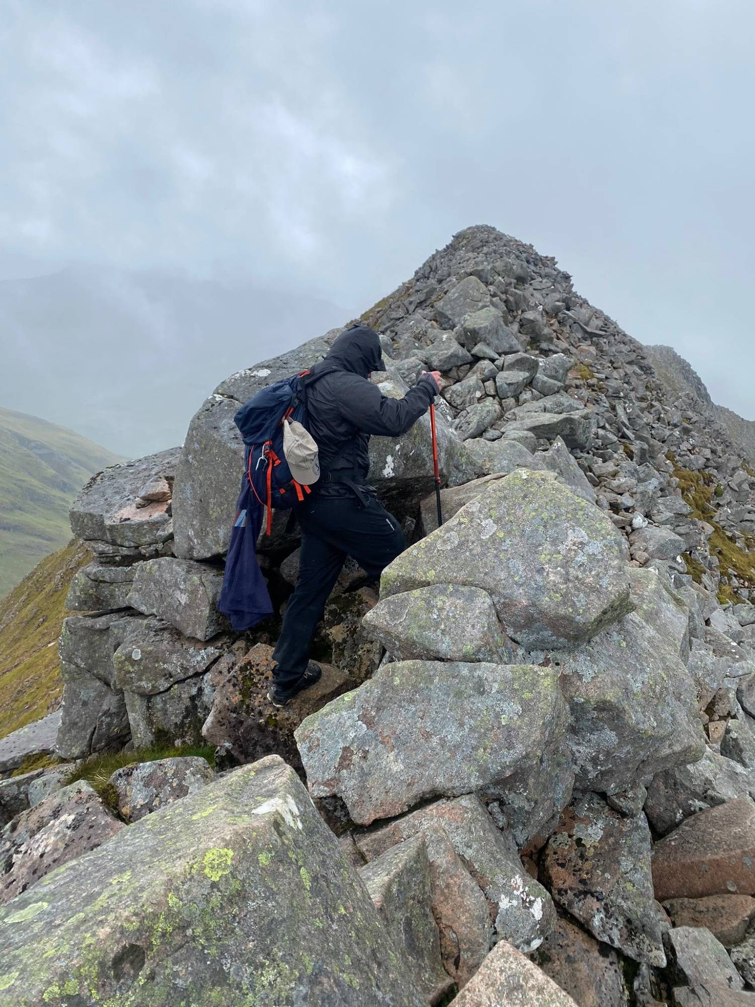
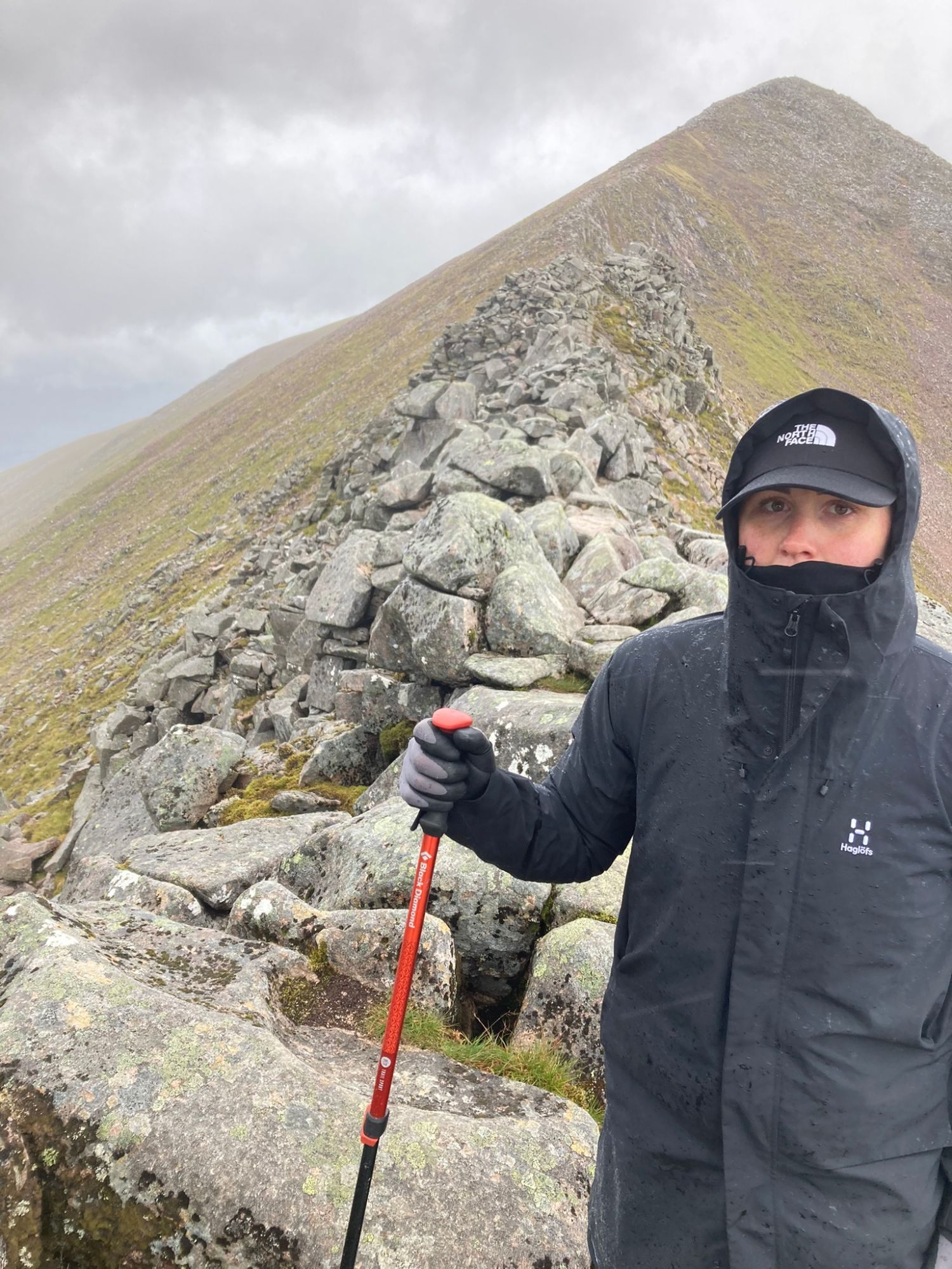
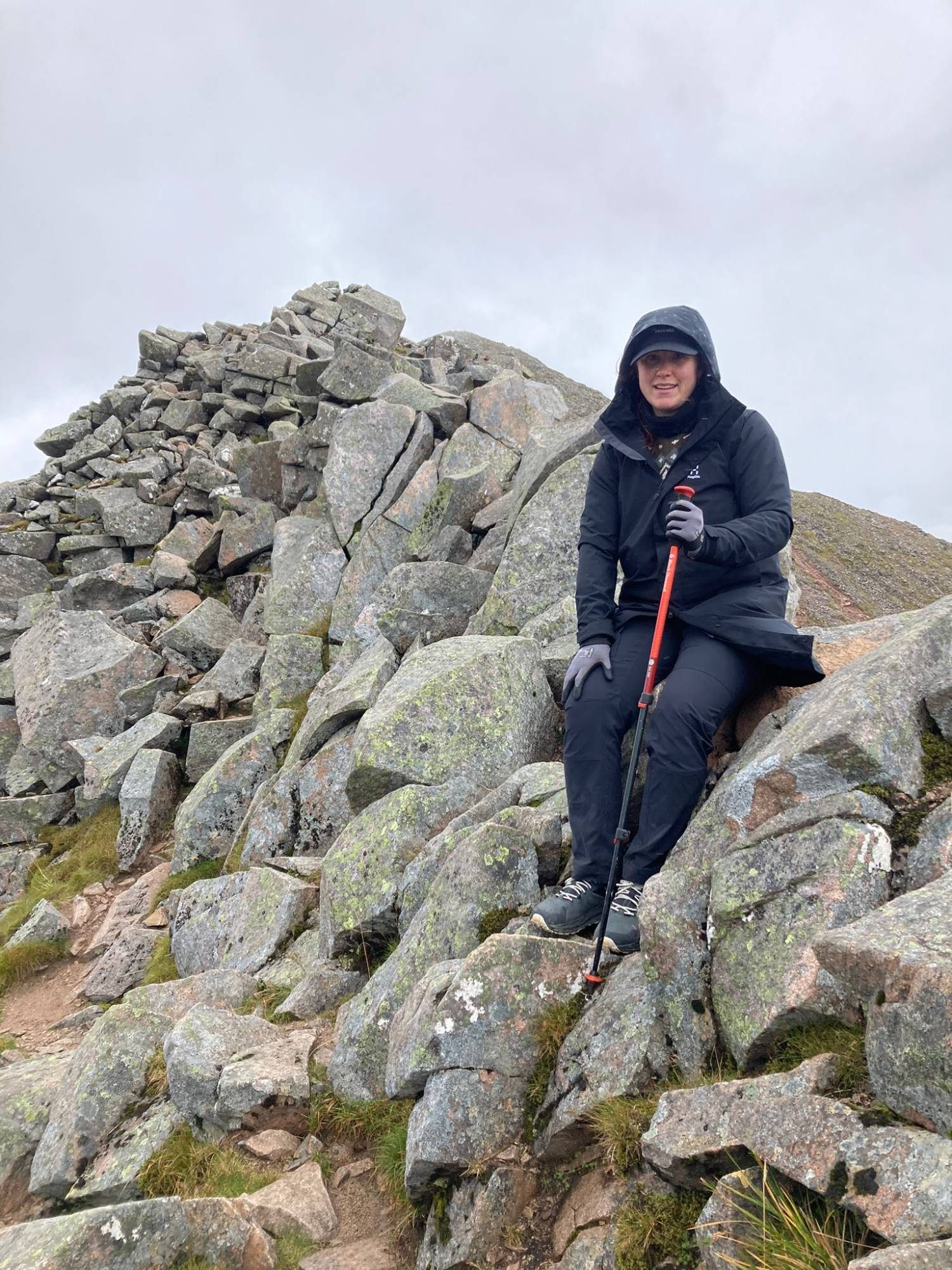
But then the weather turned. Rain came in, the cloud closed around the ridge, and visibility dropped. Our thin rain jackets kept the rain off but did nothing for the cold. On an exposed ridge you need to see where you're going, and our limited navigation experience suddenly mattered a lot more.
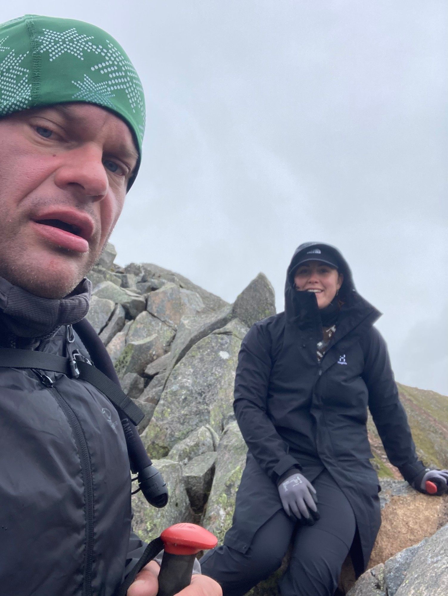
The CMD Arête is usually described as a scramble rather than a climb – we didn't need ropes – but that doesn't make it easy or suitable for everyone in every condition. The length, the exposure, the height gain and the navigation make it a serious mountain day.
Reaching the summit of Ben Nevis
After the ridge comes a steep climb over loose stones and big boulders to the summit plateau. In the cloud it wasn't always clear where to go next, and it was hard work at the end of an already long day.
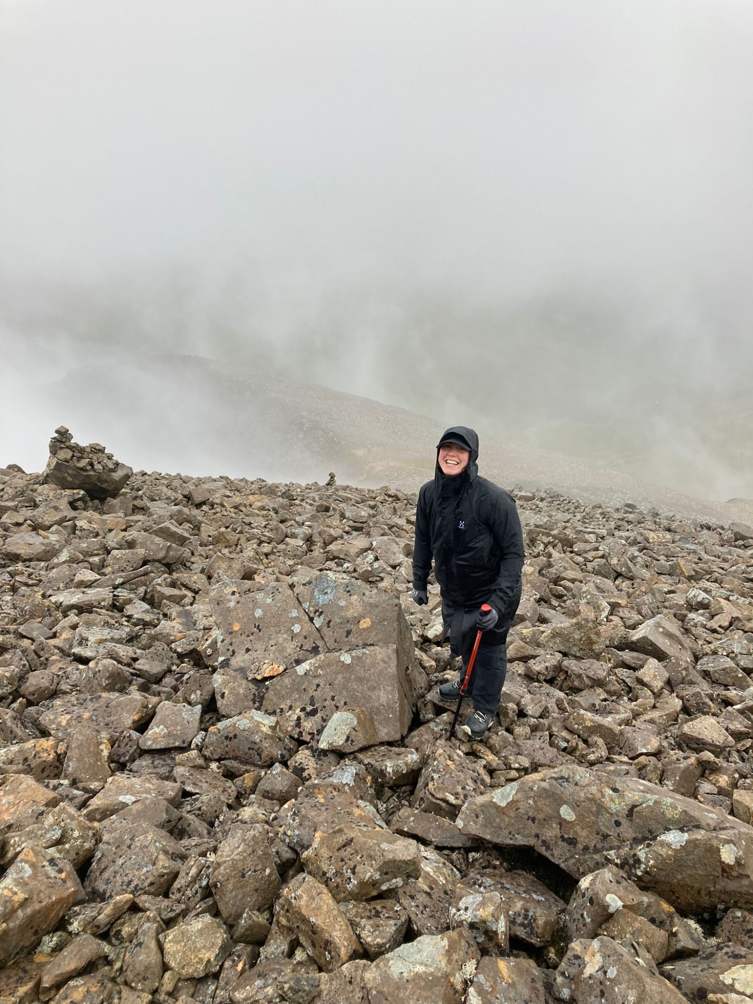
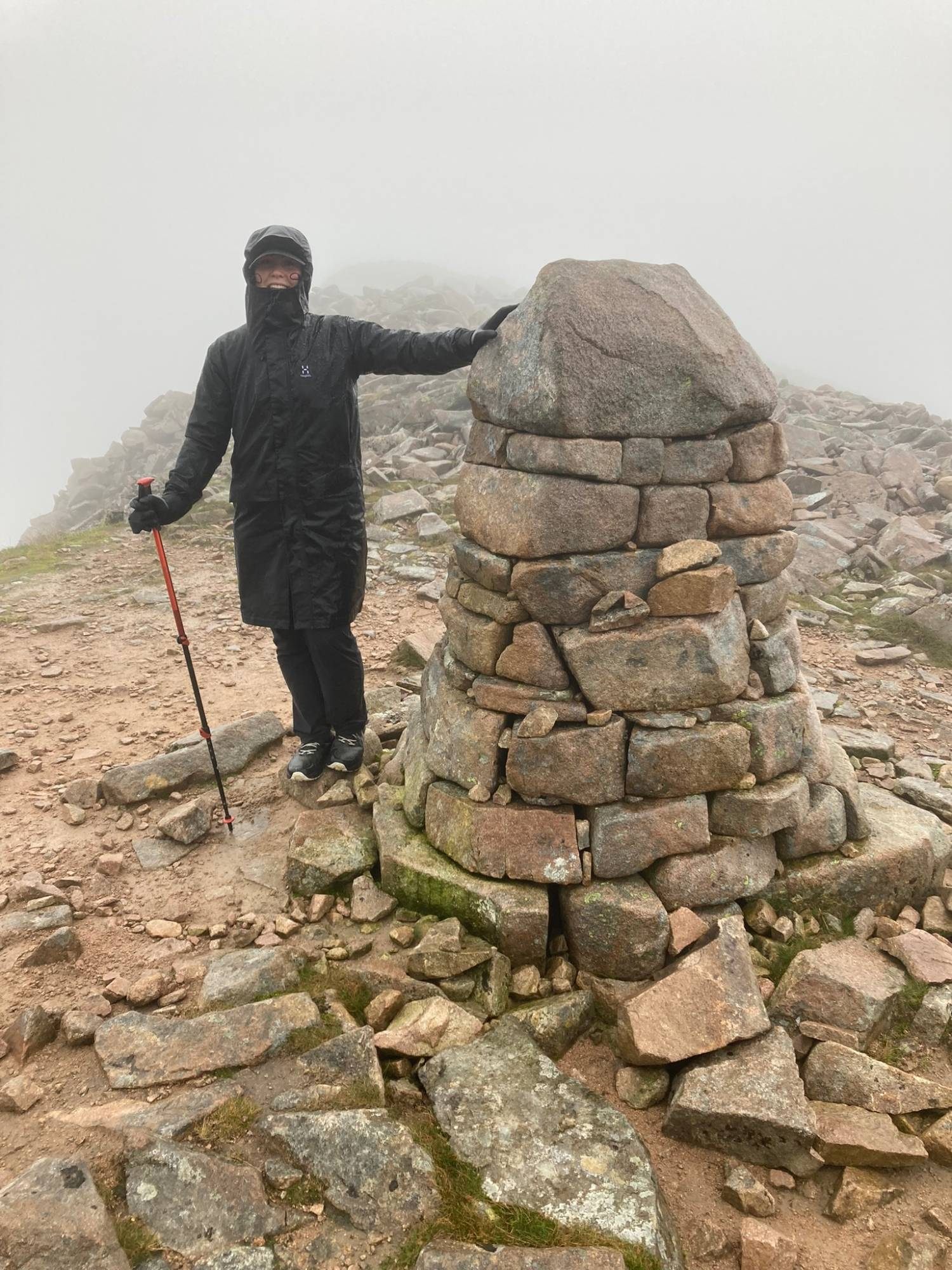
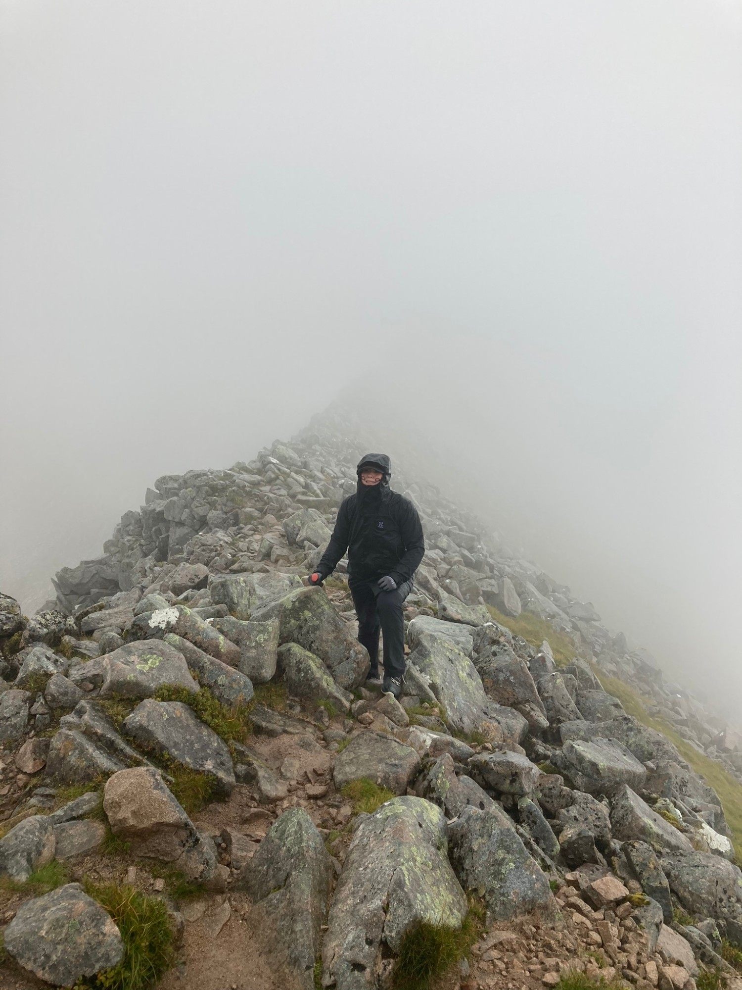
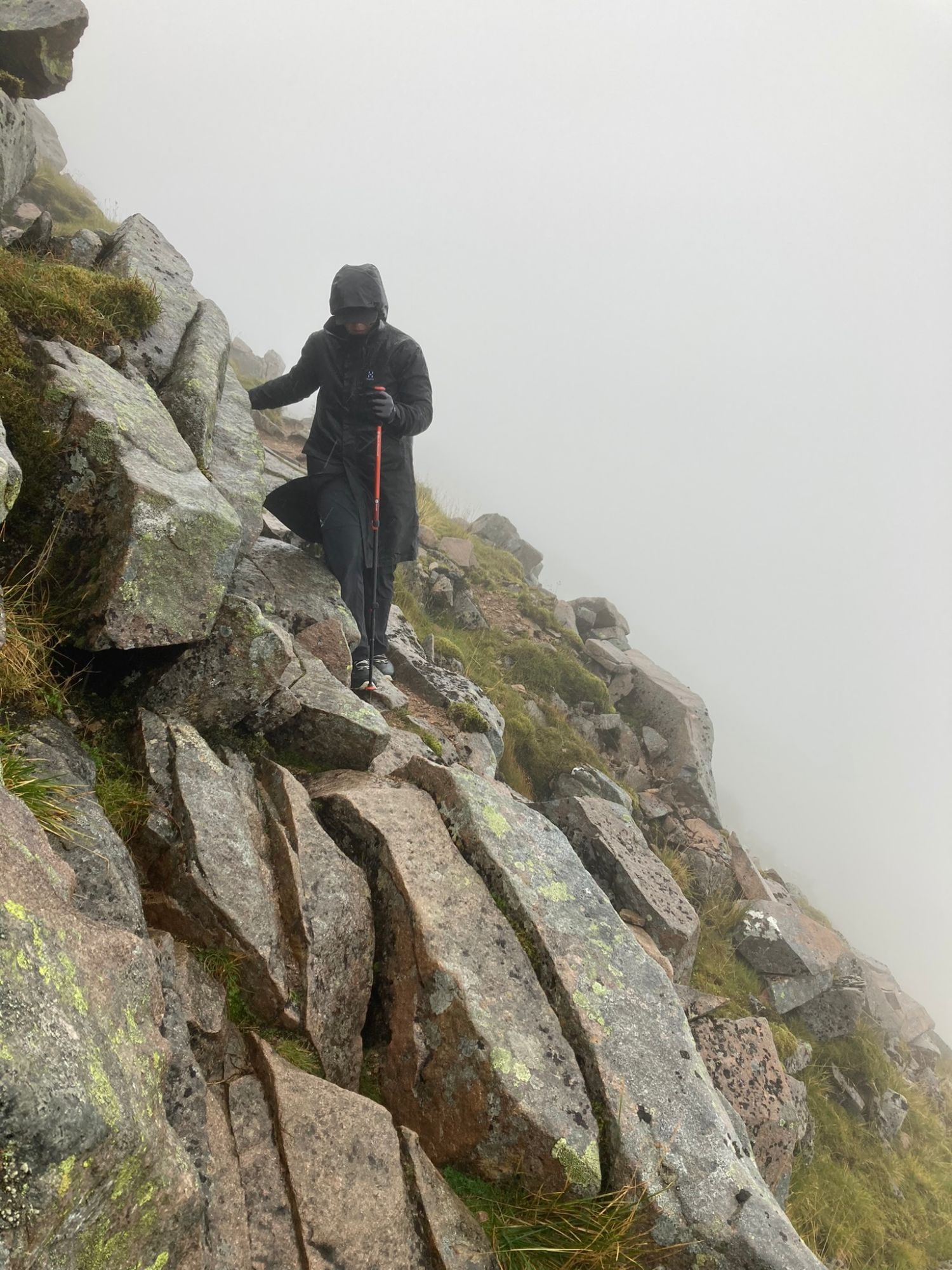
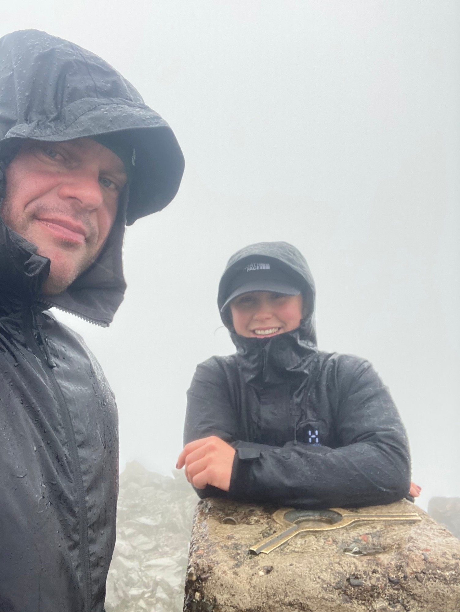
We reached the top around 4.45pm. There were quite a few people there, most of whom had come up the Mountain Track. For Kristine it was a big moment: she hadn't been sure beforehand that she'd manage a hike this exposed and this long – and she did.
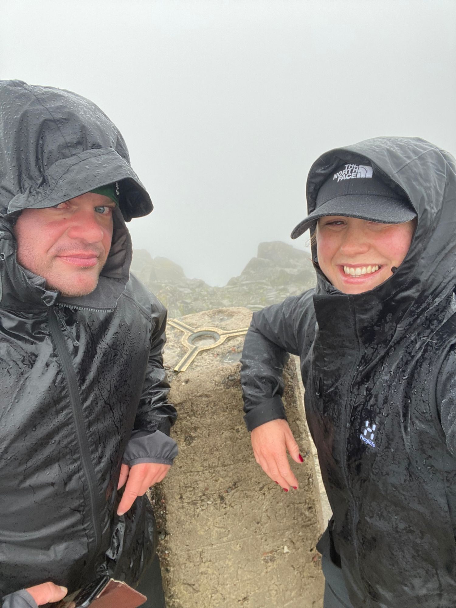
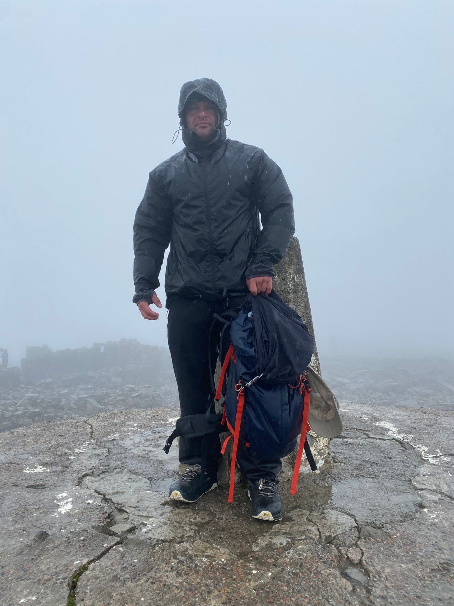
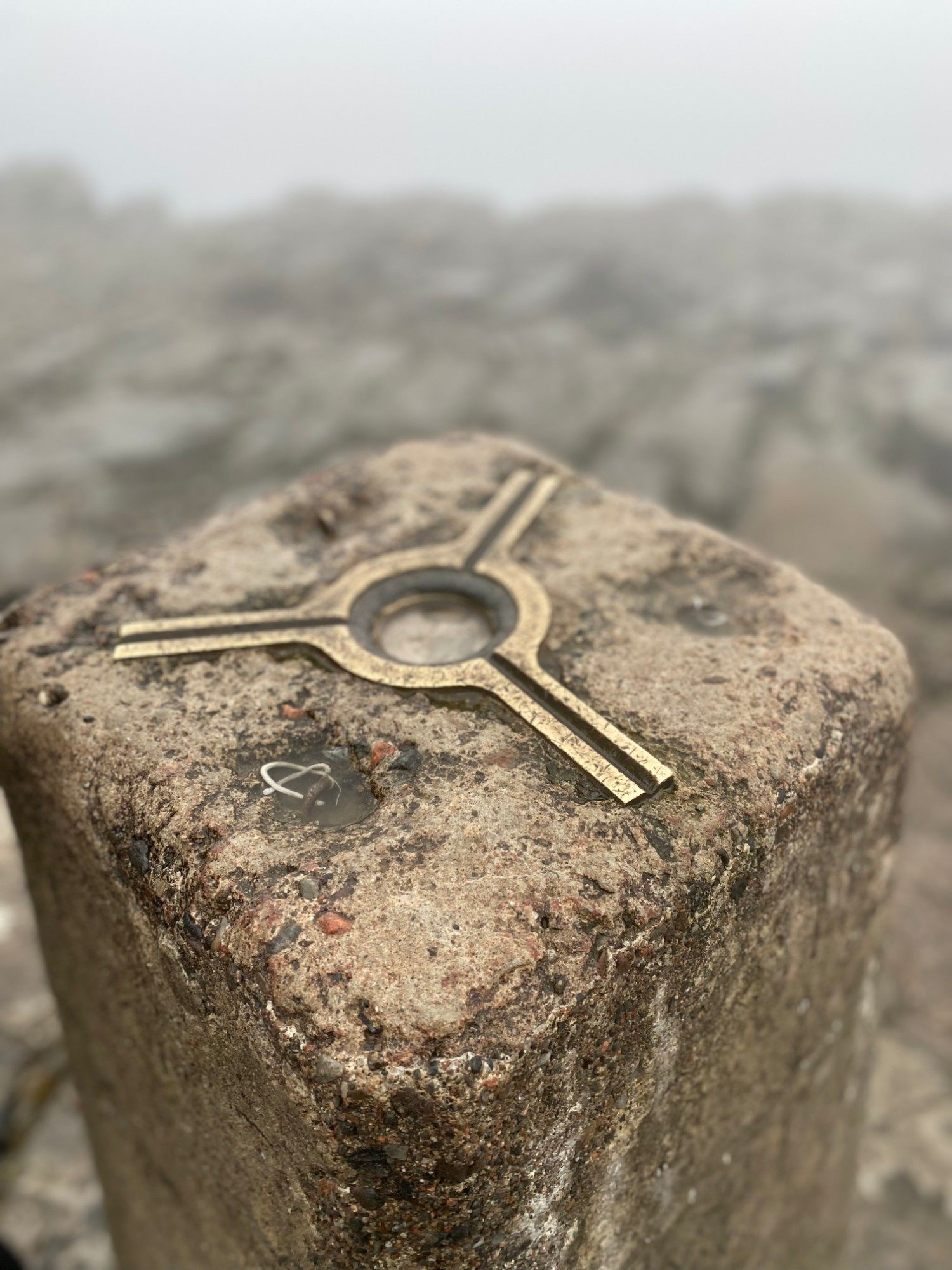
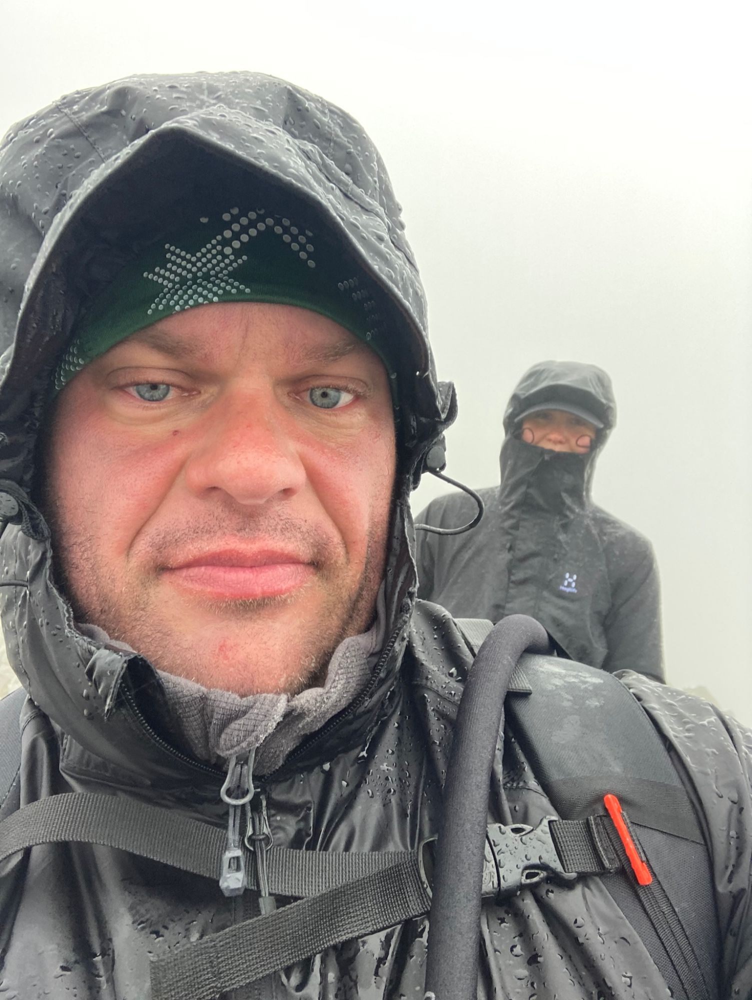
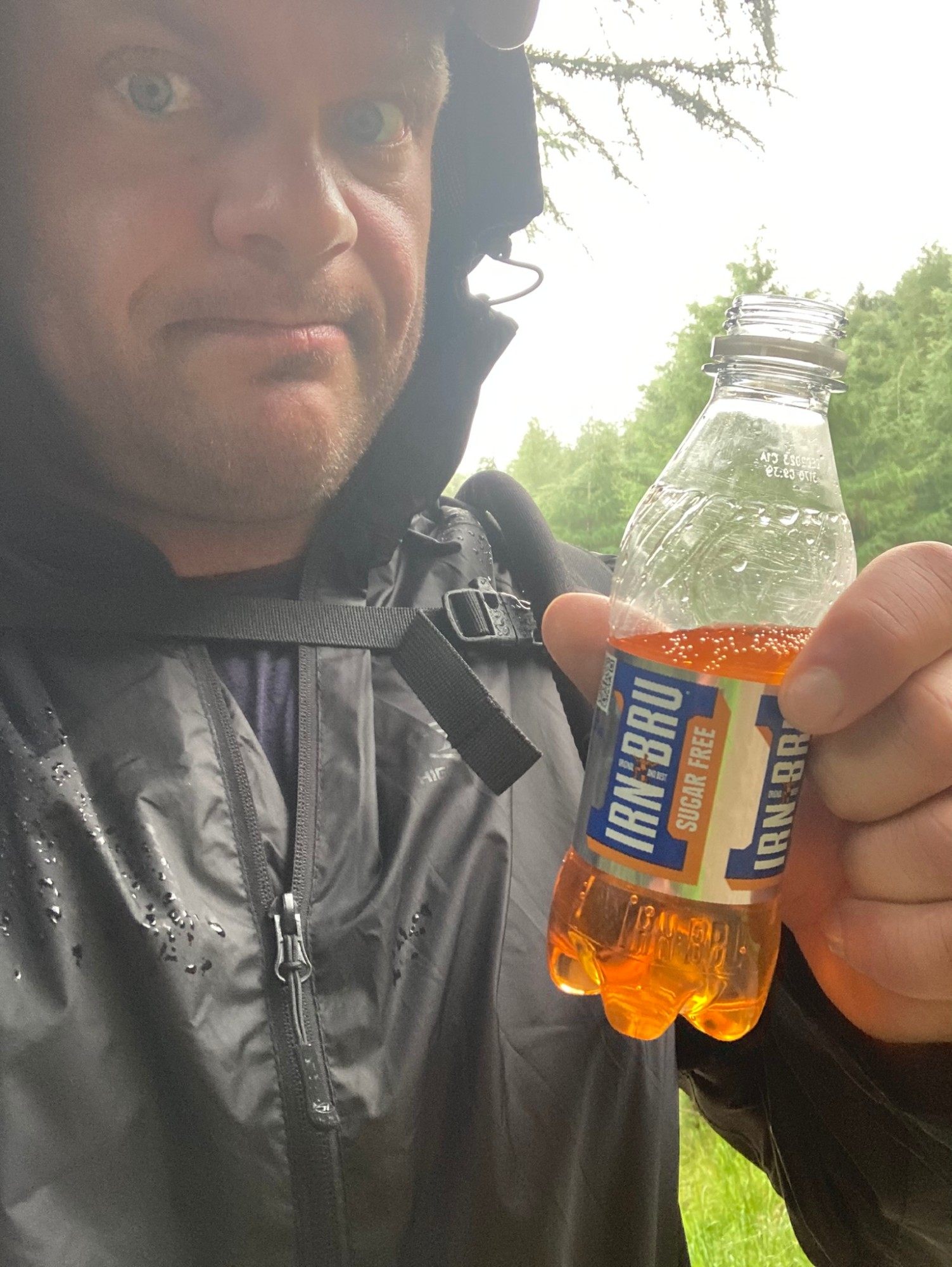
The summit itself was miserable: wind, rain and far colder than we'd expected. In August, I was freezing – and regretting the thermal layer sitting in the car. I ended up pulling spare socks over my hands. That's not a tip; it's what you do when you haven't packed properly. We took a few photos and started down.
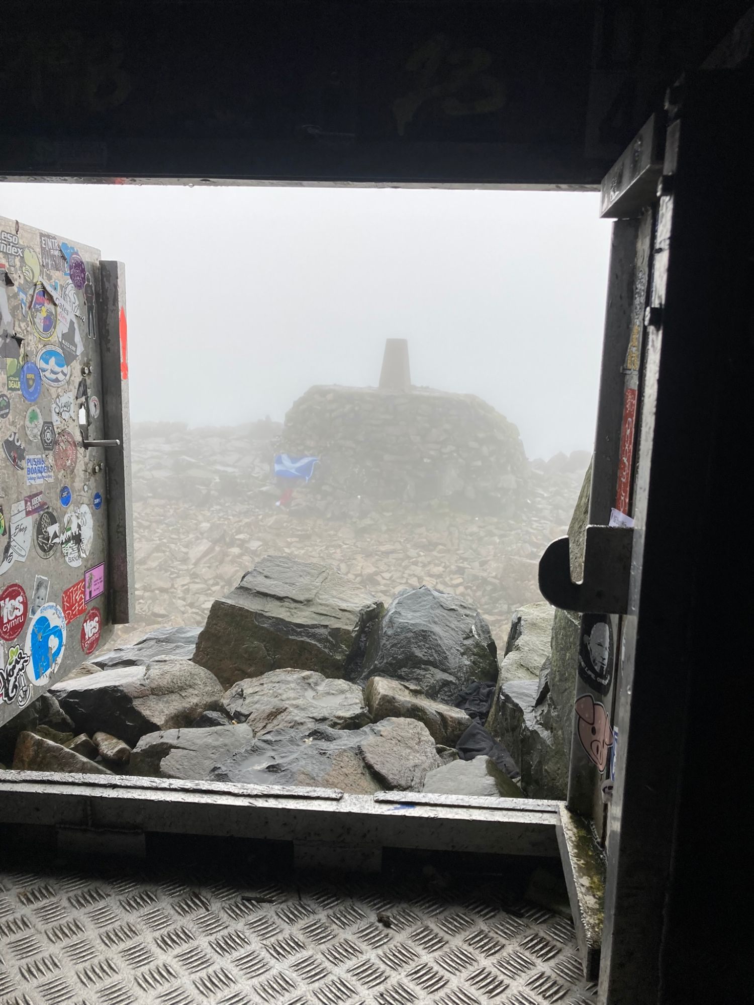
The descent – and losing the route again
We came down the Mountain Track, the main tourist path, which was much easier to follow. Our plan was to leave it near the lochan and cut back towards North Face Car Park.
Lower down, the cloud finally broke up and the evening light came through – the views we'd missed all day, all at once.
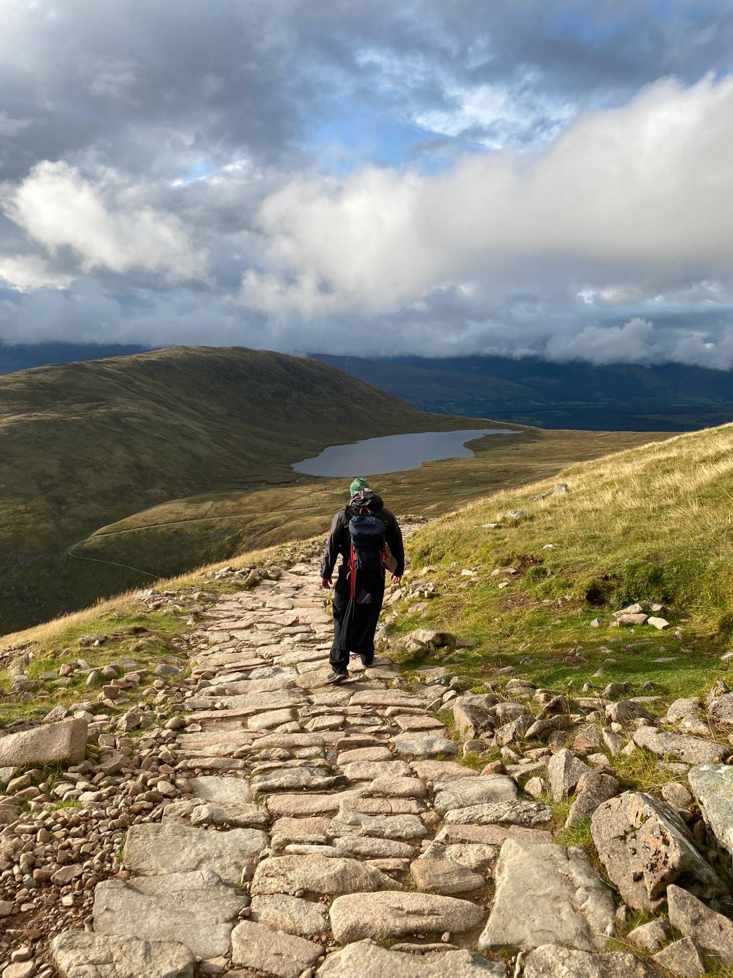
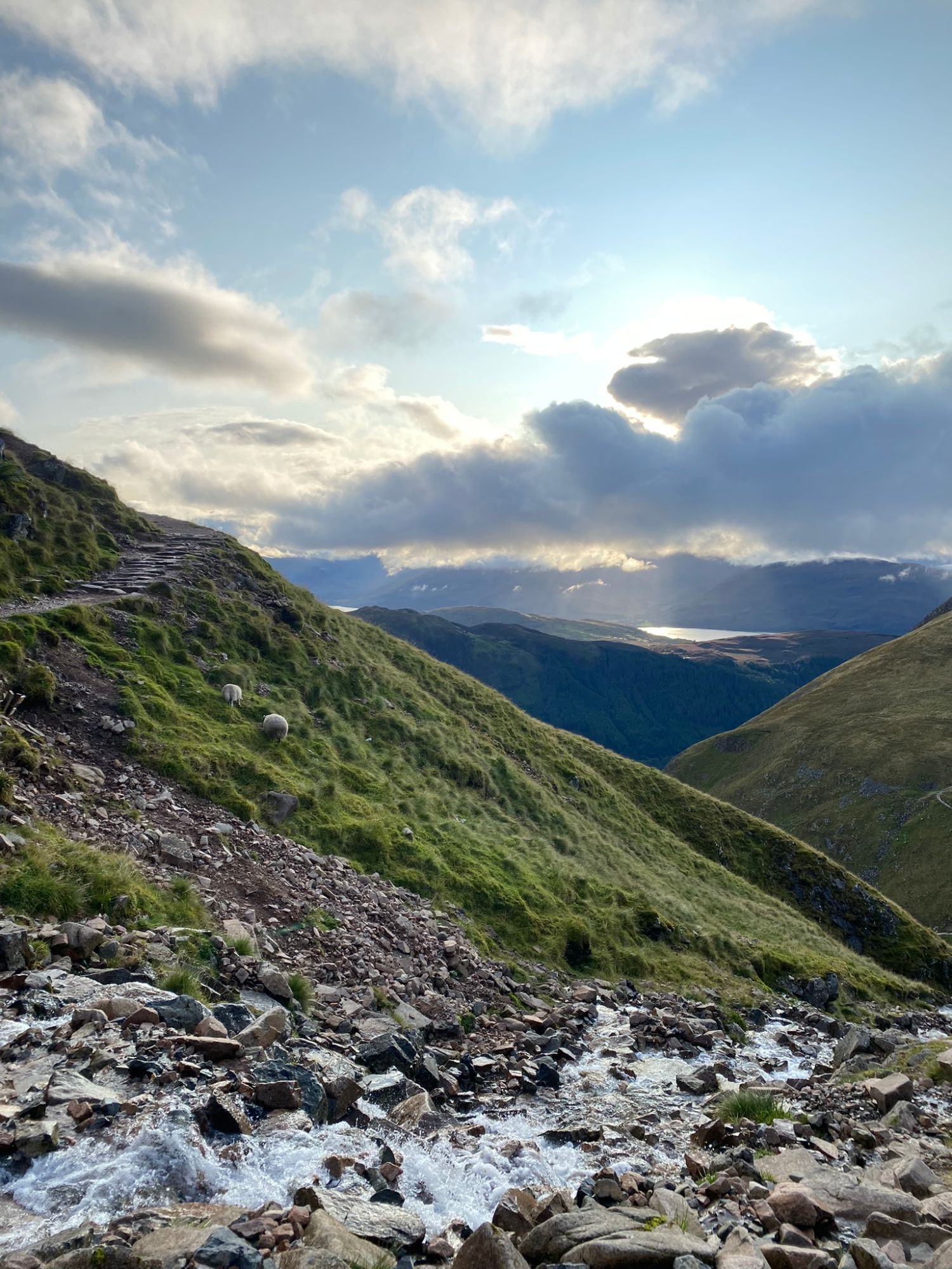
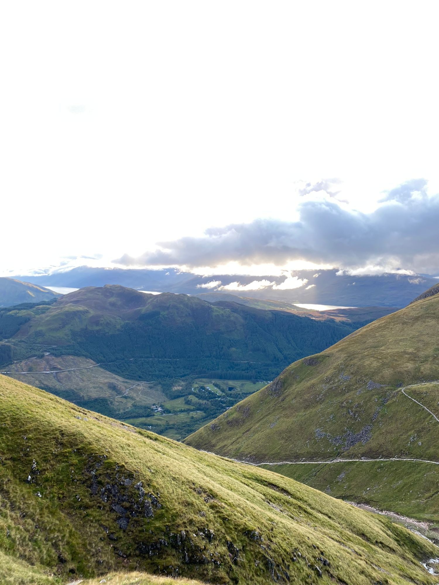
That's where it went wrong again. Off the main path we couldn't find the right line: boggy ground, a river to cross, and no clear idea where to cross it. We eventually crossed at a different point than intended and worked our way across rough ground until we picked up our earlier route.
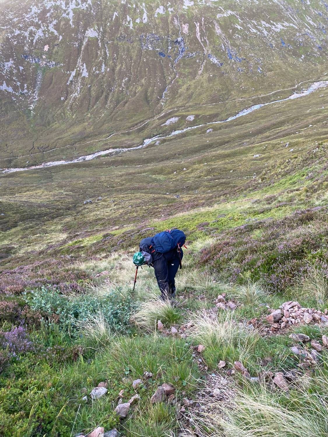
Please don't take that as a technique. River crossings in the mountains can be dangerous, especially after rain. The real lesson is that we should have had a reliable offline map and a clear plan for the return before we set off.
Back at the car after dark
We got back to North Face Car Park around 9.45pm – more than twelve hours after we'd started. Tired, wet and very ready to sit down.
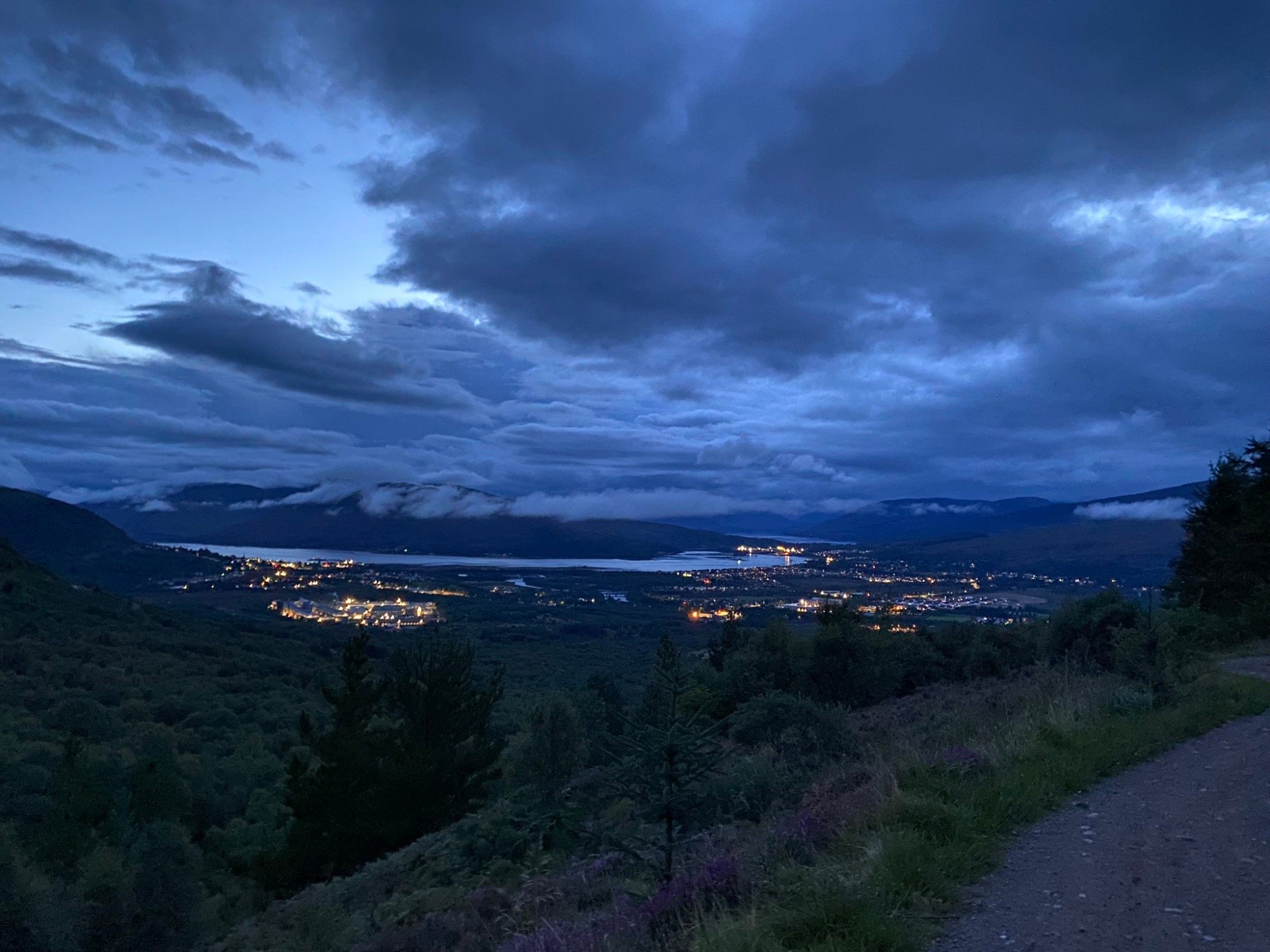
That wasn't just slow walking. The route choice, the navigation mistakes, the weather and the time spent finding our way back all added up. Published guides say to allow eight hours or more for this route – our twelve was our day, not a normal time – but either way, a route like this needs plenty of daylight and room for delays.
A late drive to The Luib Hotel
Instead of going back to Coire Glas, we drove on to our next booked hotel, The Luib Hotel near Crianlarich – about an hour and forty minutes away, which felt much longer. Dark, winding roads, and red deer standing at the roadside again and again, their shapes appearing in the headlights. It felt like a horror film. We had to call the hotel because check-in closed at 10pm, and we finally arrived around 12.15–12.30am. We'd paid 863.09 DKK for the night, booked through Hotels.com.
We'd booked The Luib for a reason: the MacGregor Stone, a lifting stone outside the hotel. In hindsight, staying a second night at Coire Glas would have made far more sense. A bonus stone the next morning didn't justify making an exhausting day even longer.
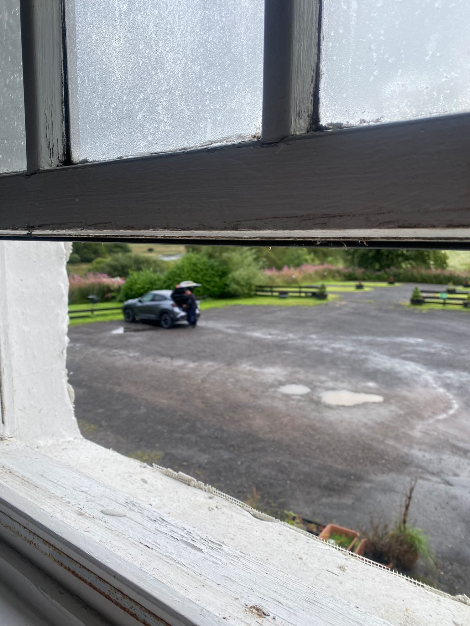
The next morning: the MacGregor Stone
On 25 August we had a full breakfast at the hotel. The owner came over and said I looked like someone who might be able to lift the stone outside – did I want to try? I already knew about it; it was why we'd booked. After the day before I'd almost given up on the idea, and we had to head for Edinburgh Airport. But I gave it a few attempts.
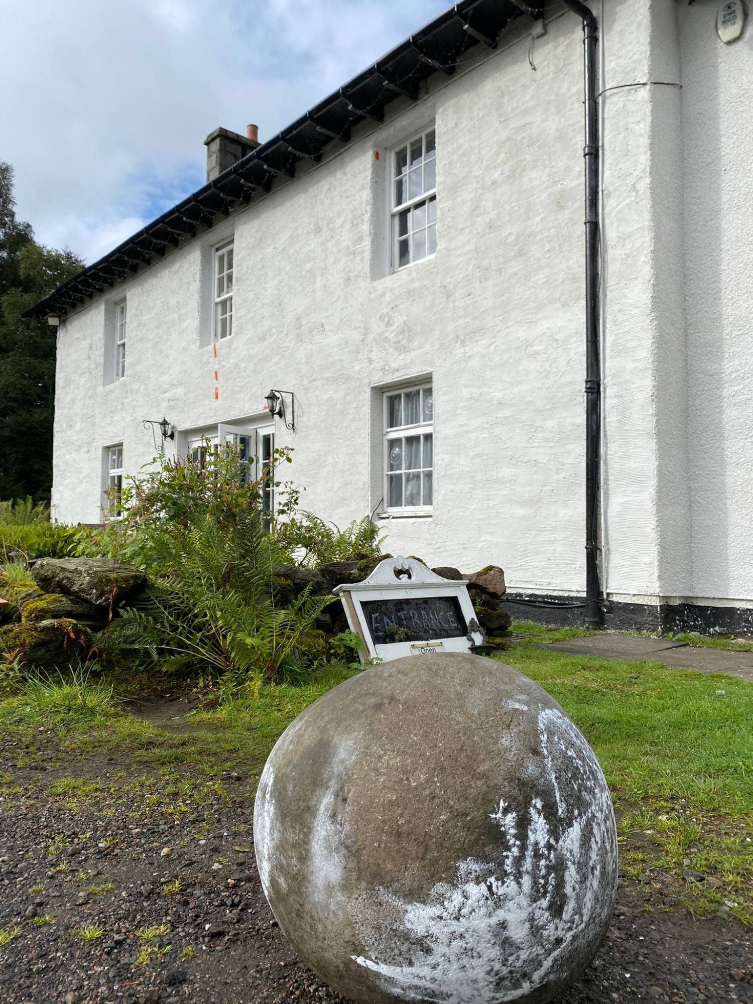
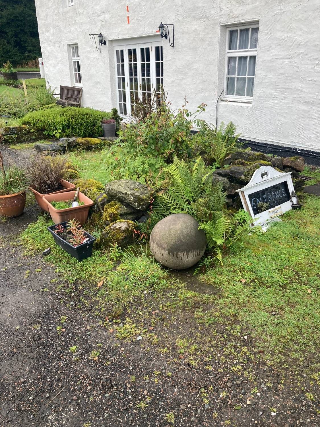
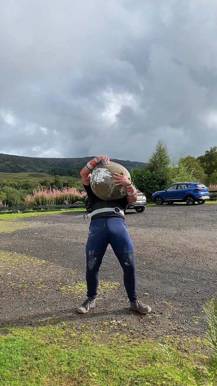
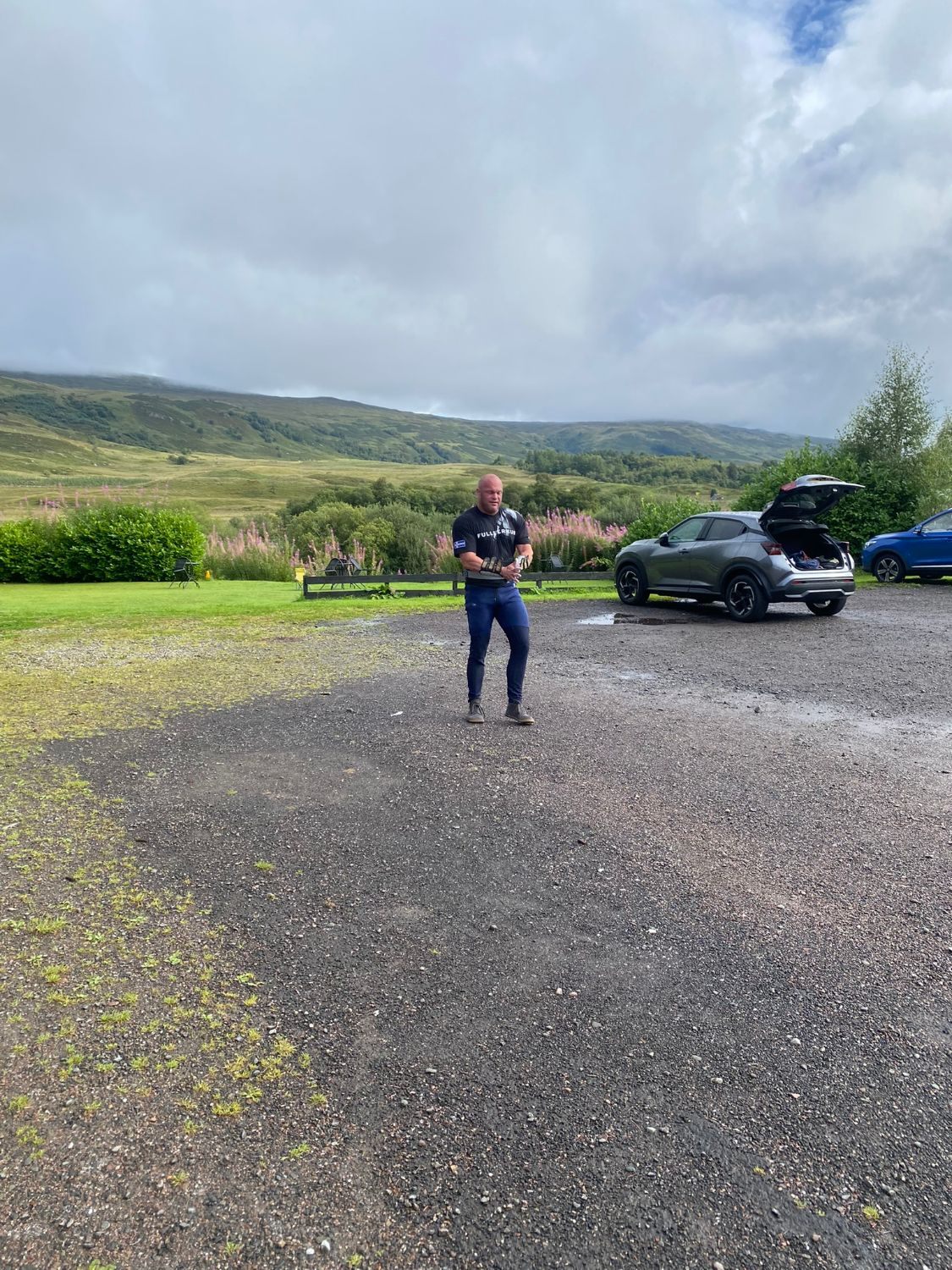
The MacGregor Stone is a rounded natural stone, which I've seen listed at around 132–133 kg. I got it up to the middle of my chest but couldn't get it onto my shoulder. It wasn't only strength – I didn't have the technique to roll it into position. I still regret not getting it up. The owner told us that relatively few people have shouldered it.
What we learned from our Scottish Highlands road trip
- Download an offline hiking map of the full route – up and down – before you leave. Google Maps is not a hiking map.
- Pack warm layers, a hat and proper gloves, even in August. The summit can be a different world from the car park.
- Be honest about the route. The CMD Arête is exposed and long. Make sure everyone knows what they're signing up for.
- Plan the return as carefully as the ascent, especially any river crossing.
- Leave time. Start early and don't stack a long drive after a big mountain day.
We landed at Edinburgh Airport around midday and flew home with a lot packed into a few days: the Dinnie Stones, the Barevan Stone overhead, Glenfinnan and the Jacobite, Ben Nevis via the CMD Arête, and a serious attempt at the MacGregor Stone. The people we met were friendly and welcoming everywhere. But the itinerary was too ambitious. We'd have needed two or three more days – or a smaller area – and fewer hotel changes.
Scotland is a fantastic place for an active trip. Just give it the time it deserves.
Practical information
| When | 24 August 2023 (MacGregor Stone: 25 August) |
|---|---|
| Route | North Face Car Park – Càrn Mòr Dearg – CMD Arête – Ben Nevis summit – Mountain Track – back towards North Face Car Park (our return deviated from the planned line) |
| Distance / ascent | Official AllTrails route: 18 km, 1,469 m up, 1,470 m down. With our detours we walked roughly 21 km (from memory). |
| Our times | Start ~9.15am, summit ~4.45pm, back ~9.45pm |
| Stayed | Coire Glas Guest House, Spean Bridge (night before); The Luib Hotel, near Crianlarich (night after, 863.09 DKK incl. breakfast) |